
- Touren
- Outdoor
- Germany
- Brandenburg
- Potsdam-Mittelmark
Potsdam-Mittelmark, Brandenburg: Die besten Touren, Trails, Trecks und Wanderungen
Potsdam-Mittelmark : Entdecken Sie die besten Touren : 52 zu Fuß. Alle diese Touren, Trails, Routen und Outdoor-Aktivitäten sind in unseren SityTrail-Apps für Smartphones und Tablets verfügbar.
Die besten Spuren (52)
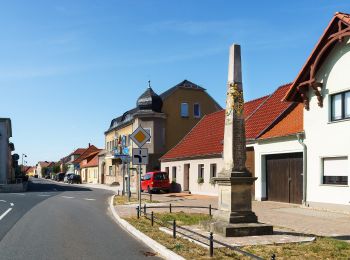
Km
Zu Fuß


• Symbol: weißer Text "B10" in dunkel grünen Kreis auf weißen Grund
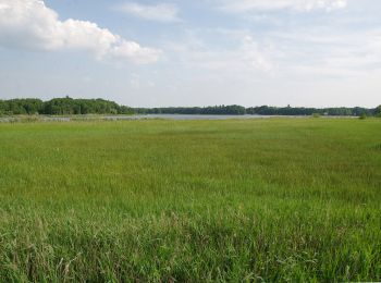
Km
Zu Fuß


• Symbol: stilisierter grüner Baum im grünen Kreis auf weißem Grund
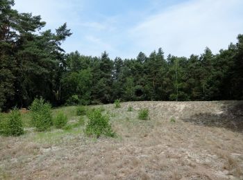
Km
Zu Fuß


• Trail created by Naturpark Nuthe-Nieplitz.

Km
Zu Fuß


• Symbol: grüner Punkt auf weißen Grund

Km
Zu Fuß


• Symbol: stilisierte blaue Kirche auf weißem Grund
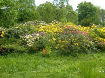
Km
Zu Fuß


• Trail created by Landkreis Potsdam-Mittelmark. Symbol: rote 72 auf weißem Grund
Km
Zu Fuß


• Trail created by landkreis Potsdam-Mittelmark. Symbol: rote 70 auf weißem Grund
Km
Zu Fuß


• Trail created by Landkreis Potsdam-Mittelmark. Symbol: gelbes Rechteck mit weißen Linien
Km
Zu Fuß


• Trail created by Landkreis Potsdam Mittelmark. Symbol: rote 41 auf weißem Grund

Km
Zu Fuß


• Trail created by landkreis potsdam-mittelmark. Symbol: rote 40 auf weißem Grund
Km
Zu Fuß


• unvollständig Symbol: Roter Balken auf weißem Grund
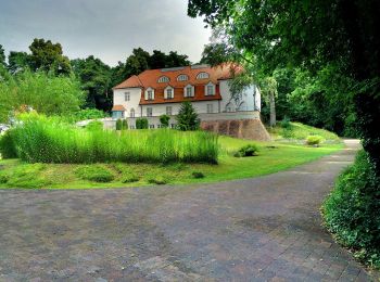
Km
Zu Fuß


• Uhrzeigersinn empfohlen?
Km
Zu Fuß


• incomplete Symbol: Grüner Balken auf weißem Grund
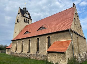
Km
Zu Fuß


• Trail created by Landkreis Potsdam-Mittelmark. Symbol: rote 20 auf weißem Grund
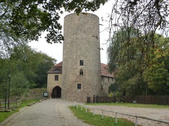
Km
Zu Fuß


• Trail created by Landkreis Potsdam-Mittelmark. Symbol: rote 42 auf weißem Grund

Km
Zu Fuß


• Trail created by Landkreis Potsdam-Mittelmark. Symbol: rote 74 auf weißem Grund
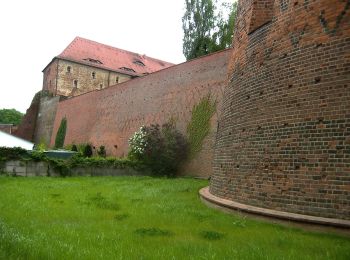
Km
Zu Fuß


• Trail created by Landkreis Potsdam-Mittelmark. Symbol: rote 11 auf weißem Grund
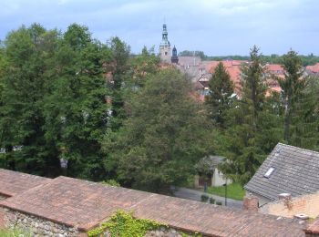
Km
Zu Fuß


• Trail created by Landkreis Potsdam-Mittelmark. Symbol: rote TK 7 auf weißem Grund
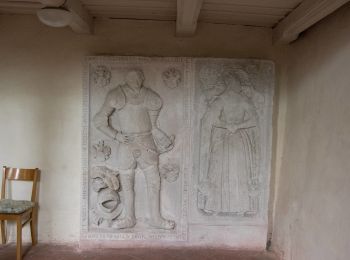
Km
Zu Fuß


• Trail created by Landkreis Potsdam Mittelmark. Symbol: rote TK4 auf weißem Grund
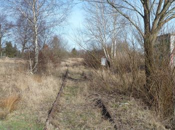
Km
Zu Fuß


• Trail created by Landkreis Potsdam-Mittelmark. Symbol: rote 51 auf weißem Grund
20 Angezeigte Touren bei 52
Kostenlosegpshiking-Anwendung


 SityTrail


