![](/images/other/stat-length.png)
- Touren
- Outdoor
- Germany
- Baden-Württemberg
- Landkreis Tübingen
Landkreis Tübingen, Baden-Württemberg: Die besten Touren, Trails, Trecks und Wanderungen
Landkreis Tübingen : Entdecken Sie die besten Touren : 27 zu Fuß. Alle diese Touren, Trails, Routen und Outdoor-Aktivitäten sind in unseren SityTrail-Apps für Smartphones und Tablets verfügbar.
Die besten Spuren (27)
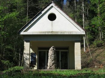
![Tour Zu Fuß Rottenburg am Neckar - Sieben-Täler-Runde - Photo](https://media.geolcdn.com/t/350/260/fdb2822c-e1ca-41f9-a772-0206ce40a80d.jpeg&format=jpg&maxdim=2)
![Zu Fuß Zu Fuß](https://static1.geolcdn.com/sitytour/trail-icons/100.png)
Km
Zu Fuß
![](/images/other/stat-length.png)
![](https://static1.geolcdn.com/siteimages/upload/files/1508320355ic_sort_den_pos_24dp.png)
![](https://static1.geolcdn.com/siteimages/upload/files/1508320355ic_sort_den_neg_24dp.png)
![](https://static1.geolcdn.com/siteimages/upload/files/16400158638029165_repeat_loop_refresh_sync_direction_icon.png)
• Trail created by Stadt Rottenburg. Symbol: roter Apfel
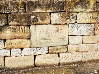
![Tour Zu Fuß Rottenburg am Neckar - Wurmlinger Kapellenwegle - Photo](https://media.geolcdn.com/t/350/260/1247f7ba-4811-4488-a378-d1495f1cc946.jpeg&format=jpg&maxdim=2)
![Zu Fuß Zu Fuß](https://static1.geolcdn.com/sitytour/trail-icons/100.png)
Km
Zu Fuß
![](/images/other/stat-length.png)
![](https://static1.geolcdn.com/siteimages/upload/files/1508320355ic_sort_den_pos_24dp.png)
![](https://static1.geolcdn.com/siteimages/upload/files/1508320355ic_sort_den_neg_24dp.png)
![](https://static1.geolcdn.com/siteimages/upload/files/16400158638029165_repeat_loop_refresh_sync_direction_icon.png)
• Trail created by Stadt Rottenburg. Symbol: roterr Apfel
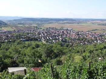
![Tour Zu Fuß Ammerbuch - Ammerbucher Gigeleswegle - Photo](https://media.geolcdn.com/t/350/260/38a43fbd-5c61-4cb9-8b0e-72f662ada2e3.jpeg&format=jpg&maxdim=2)
![Zu Fuß Zu Fuß](https://static1.geolcdn.com/sitytour/trail-icons/100.png)
Km
Zu Fuß
![](/images/other/stat-length.png)
![](https://static1.geolcdn.com/siteimages/upload/files/1508320355ic_sort_den_pos_24dp.png)
![](https://static1.geolcdn.com/siteimages/upload/files/1508320355ic_sort_den_neg_24dp.png)
![](https://static1.geolcdn.com/siteimages/upload/files/16400158638029165_repeat_loop_refresh_sync_direction_icon.png)
• Trail created by Gemeinde Ammerbuch. Symbol: Roter Apfel Website: http://fruechtetrauf.tuebinger-umwelten.de
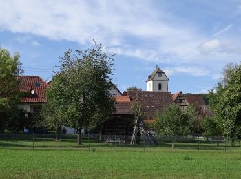
![Tour Zu Fuß Ammerbuch - Schönbuchspitzrunde - Photo](https://media.geolcdn.com/t/350/260/4c79e599-ff69-4eea-a391-461140bb16c4.jpeg&format=jpg&maxdim=2)
![Zu Fuß Zu Fuß](https://static1.geolcdn.com/sitytour/trail-icons/100.png)
Km
Zu Fuß
![](/images/other/stat-length.png)
![](https://static1.geolcdn.com/siteimages/upload/files/1508320355ic_sort_den_pos_24dp.png)
![](https://static1.geolcdn.com/siteimages/upload/files/1508320355ic_sort_den_neg_24dp.png)
![](https://static1.geolcdn.com/siteimages/upload/files/16400158638029165_repeat_loop_refresh_sync_direction_icon.png)
• Trail created by Gemeinde Ammerbuch. Symbol: Roter Apfel Website: http://fruechtetrauf.tuebinger-umwelten.de
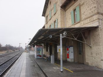
![Tour Zu Fuß Mössingen - Zugangsweg - Mössingen - Weg-3 - Bahnhof Mössingen - Richtung Dreifürstenstein (In Weg 2) - Photo](https://media.geolcdn.com/t/350/260/ebc027be-f16d-4688-b270-641acb8ef0c8.jpeg&format=jpg&maxdim=2)
![Zu Fuß Zu Fuß](https://static1.geolcdn.com/sitytour/trail-icons/100.png)
Km
Zu Fuß
![](/images/other/stat-length.png)
![](https://static1.geolcdn.com/siteimages/upload/files/1508320355ic_sort_den_pos_24dp.png)
![](https://static1.geolcdn.com/siteimages/upload/files/1508320355ic_sort_den_neg_24dp.png)
![](https://static1.geolcdn.com/siteimages/upload/files/16400158638029165_repeat_loop_refresh_sync_direction_icon.png)
• Trail created by Schwaebischer Albverein - Ortsgruppe Mössingen. Symbol: Blue Pointer on white background
![Tour Zu Fuß Mössingen - Zugangsweg - Mössingen - Weg-4 - Abzweigung von Weg 5 in Mössingen - Farrenberg Bismarckskapf - Abzweigung Ruine Andeck - Photo](https://media.geolcdn.com/t/350/260/0229ce18-18ed-4b6c-ba4e-dc23dfc8b92c.jpeg&format=jpg&maxdim=2)
![Zu Fuß Zu Fuß](https://static1.geolcdn.com/sitytour/trail-icons/100.png)
Km
Zu Fuß
![](/images/other/stat-length.png)
![](https://static1.geolcdn.com/siteimages/upload/files/1508320355ic_sort_den_pos_24dp.png)
![](https://static1.geolcdn.com/siteimages/upload/files/1508320355ic_sort_den_neg_24dp.png)
![](https://static1.geolcdn.com/siteimages/upload/files/16400158638029165_repeat_loop_refresh_sync_direction_icon.png)
• Trail created by Schwaebischer Albverein - Ortsgruppe Mössingen. Symbol: Blue Pointer on white background
![Tour Zu Fuß Rottenburg am Neckar - Liebfrauenhöhe-Oberndorf - Photo](https://media.geolcdn.com/t/350/260/19a6f014-6a9f-419d-a600-47f8477b286a.jpeg&format=jpg&maxdim=2)
![Zu Fuß Zu Fuß](https://static1.geolcdn.com/sitytour/trail-icons/100.png)
Km
Zu Fuß
![](/images/other/stat-length.png)
![](https://static1.geolcdn.com/siteimages/upload/files/1508320355ic_sort_den_pos_24dp.png)
![](https://static1.geolcdn.com/siteimages/upload/files/1508320355ic_sort_den_neg_24dp.png)
![](https://static1.geolcdn.com/siteimages/upload/files/16400158638029165_repeat_loop_refresh_sync_direction_icon.png)
• Trail created by Schwäbischer Alb Verein. Symbol: blue cross on white background
![Tour Zu Fuß Rottenburg am Neckar - Bieringen-Weitenburg - Photo](https://media.geolcdn.com/t/350/260/c64343ac-d213-45ca-9cef-6cde8dca29a9.jpeg&format=jpg&maxdim=2)
![Zu Fuß Zu Fuß](https://static1.geolcdn.com/sitytour/trail-icons/100.png)
Km
Zu Fuß
![](/images/other/stat-length.png)
![](https://static1.geolcdn.com/siteimages/upload/files/1508320355ic_sort_den_pos_24dp.png)
![](https://static1.geolcdn.com/siteimages/upload/files/1508320355ic_sort_den_neg_24dp.png)
![](https://static1.geolcdn.com/siteimages/upload/files/16400158638029165_repeat_loop_refresh_sync_direction_icon.png)
• Trail created by Schwäbischer Alb Verein. Symbol: red cross on white background
![Tour Zu Fuß Starzach - Wachendorf-Bieringen-Oberndorf - Photo](https://media.geolcdn.com/t/350/260/c64343ac-d213-45ca-9cef-6cde8dca29a9.jpeg&format=jpg&maxdim=2)
![Zu Fuß Zu Fuß](https://static1.geolcdn.com/sitytour/trail-icons/100.png)
Km
Zu Fuß
![](/images/other/stat-length.png)
![](https://static1.geolcdn.com/siteimages/upload/files/1508320355ic_sort_den_pos_24dp.png)
![](https://static1.geolcdn.com/siteimages/upload/files/1508320355ic_sort_den_neg_24dp.png)
![](https://static1.geolcdn.com/siteimages/upload/files/16400158638029165_repeat_loop_refresh_sync_direction_icon.png)
• Trail created by Schwäbischer Alb Verein. Symbol: red cross on white background
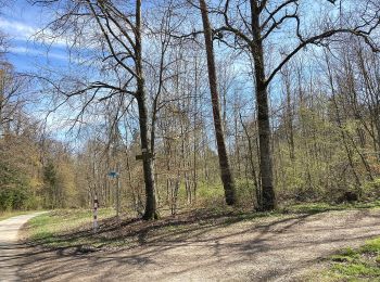
![Tour Zu Fuß Starzach - Burgmühle-Frommenhausen-Rottenburg - Photo](https://media.geolcdn.com/t/350/260/4d3d54c3-3d2f-4979-bbcf-8781e6d2f840.jpeg&format=jpg&maxdim=2)
![Zu Fuß Zu Fuß](https://static1.geolcdn.com/sitytour/trail-icons/100.png)
Km
Zu Fuß
![](/images/other/stat-length.png)
![](https://static1.geolcdn.com/siteimages/upload/files/1508320355ic_sort_den_pos_24dp.png)
![](https://static1.geolcdn.com/siteimages/upload/files/1508320355ic_sort_den_neg_24dp.png)
![](https://static1.geolcdn.com/siteimages/upload/files/16400158638029165_repeat_loop_refresh_sync_direction_icon.png)
• Trail created by Schwäbischer Alb Verein. Symbol: red cross on white background
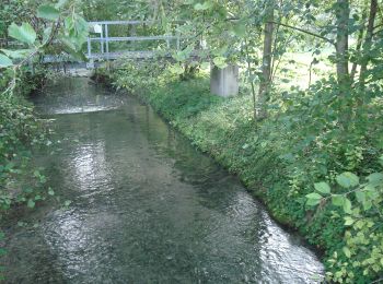
![Tour Zu Fuß Rottenburg am Neckar - Krreuzerfeld-Bad Nidernau - Photo](https://media.geolcdn.com/t/350/260/b2c6bfa9-0cf9-4280-b413-bd4039e56691.jpeg&format=jpg&maxdim=2)
![Zu Fuß Zu Fuß](https://static1.geolcdn.com/sitytour/trail-icons/100.png)
Km
Zu Fuß
![](/images/other/stat-length.png)
![](https://static1.geolcdn.com/siteimages/upload/files/1508320355ic_sort_den_pos_24dp.png)
![](https://static1.geolcdn.com/siteimages/upload/files/1508320355ic_sort_den_neg_24dp.png)
![](https://static1.geolcdn.com/siteimages/upload/files/16400158638029165_repeat_loop_refresh_sync_direction_icon.png)
• Trail created by Schwäbischer Alb Verein. Symbol: blue cross on white background
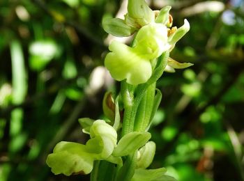
![Tour Zu Fuß Rottenburg am Neckar - Weiler Burg-Hofgut Eck - Photo](https://media.geolcdn.com/t/350/260/850afbf4-92d0-4fe6-98c4-d0f583d2ae7c.jpeg&format=jpg&maxdim=2)
![Zu Fuß Zu Fuß](https://static1.geolcdn.com/sitytour/trail-icons/100.png)
Km
Zu Fuß
![](/images/other/stat-length.png)
![](https://static1.geolcdn.com/siteimages/upload/files/1508320355ic_sort_den_pos_24dp.png)
![](https://static1.geolcdn.com/siteimages/upload/files/1508320355ic_sort_den_neg_24dp.png)
![](https://static1.geolcdn.com/siteimages/upload/files/16400158638029165_repeat_loop_refresh_sync_direction_icon.png)
• Trail created by Schwäbischer Alb Verein. Symbol: red cross on white background
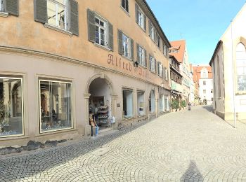
![Tour Zu Fuß Rottenburg am Neckar - Rottenburg-Rammert - Photo](https://media.geolcdn.com/t/350/260/78b59db4-3347-4096-b133-6216803bdffd.jpeg&format=jpg&maxdim=2)
![Zu Fuß Zu Fuß](https://static1.geolcdn.com/sitytour/trail-icons/100.png)
Km
Zu Fuß
![](/images/other/stat-length.png)
![](https://static1.geolcdn.com/siteimages/upload/files/1508320355ic_sort_den_pos_24dp.png)
![](https://static1.geolcdn.com/siteimages/upload/files/1508320355ic_sort_den_neg_24dp.png)
![](https://static1.geolcdn.com/siteimages/upload/files/16400158638029165_repeat_loop_refresh_sync_direction_icon.png)
• Trail created by Schwäbischer Alb Verein. Symbol: Blauer Balken auf weißem Grund
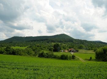
![Tour Zu Fuß Mössingen - Dreifürstensteig - Photo](https://media.geolcdn.com/t/350/260/16ea2ea3-2da4-4cd0-ab34-989c5ad06c37.jpeg&format=jpg&maxdim=2)
![Zu Fuß Zu Fuß](https://static1.geolcdn.com/sitytour/trail-icons/100.png)
Km
Zu Fuß
![](/images/other/stat-length.png)
![](https://static1.geolcdn.com/siteimages/upload/files/1508320355ic_sort_den_pos_24dp.png)
![](https://static1.geolcdn.com/siteimages/upload/files/1508320355ic_sort_den_neg_24dp.png)
![](https://static1.geolcdn.com/siteimages/upload/files/16400158638029165_repeat_loop_refresh_sync_direction_icon.png)
• Trail created by Stadt Mössingen.
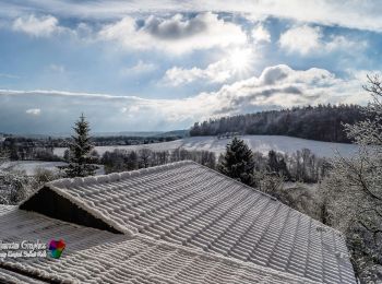
![Tour Zu Fuß Tübingen - DE-SAV Blauer Balken, Bebenhausen - Oberaichen - Photo](https://media.geolcdn.com/t/350/260/a9451fc6-3ee0-46be-896a-e2f985a779c6.jpeg&format=jpg&maxdim=2)
![Zu Fuß Zu Fuß](https://static1.geolcdn.com/sitytour/trail-icons/100.png)
Km
Zu Fuß
![](/images/other/stat-length.png)
![](https://static1.geolcdn.com/siteimages/upload/files/1508320355ic_sort_den_pos_24dp.png)
![](https://static1.geolcdn.com/siteimages/upload/files/1508320355ic_sort_den_neg_24dp.png)
![](https://static1.geolcdn.com/siteimages/upload/files/16400158638029165_repeat_loop_refresh_sync_direction_icon.png)
• Trail created by Schwäbischer Albverein. SAV Blauer Balken, Bebenhausen - Oberaichen Symbol: Blauer Strich auf weiß...
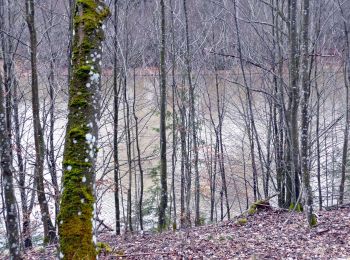
![Tour Zu Fuß Ammerbuch - Brentenhauweg - Photo](https://media.geolcdn.com/t/350/260/95d58c19-4963-4125-96e8-44ea0a08f5e8.jpeg&format=jpg&maxdim=2)
![Zu Fuß Zu Fuß](https://static1.geolcdn.com/sitytour/trail-icons/100.png)
Km
Zu Fuß
![](/images/other/stat-length.png)
![](https://static1.geolcdn.com/siteimages/upload/files/1508320355ic_sort_den_pos_24dp.png)
![](https://static1.geolcdn.com/siteimages/upload/files/1508320355ic_sort_den_neg_24dp.png)
![](https://static1.geolcdn.com/siteimages/upload/files/16400158638029165_repeat_loop_refresh_sync_direction_icon.png)
• Symbol: Rote Schnecke auf weißem Grund
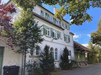
![Tour Zu Fuß Tübingen - DE-AVU 2 - Photo](https://media.geolcdn.com/t/350/260/10515922-b192-4e7f-b306-8a24709d84d6.jpeg&format=jpg&maxdim=2)
![Zu Fuß Zu Fuß](https://static1.geolcdn.com/sitytour/trail-icons/100.png)
Km
Zu Fuß
![](/images/other/stat-length.png)
![](https://static1.geolcdn.com/siteimages/upload/files/1508320355ic_sort_den_pos_24dp.png)
![](https://static1.geolcdn.com/siteimages/upload/files/1508320355ic_sort_den_neg_24dp.png)
![](https://static1.geolcdn.com/siteimages/upload/files/16400158638029165_repeat_loop_refresh_sync_direction_icon.png)
• Trail created by Schwäbischer Albverein, Ortsgruppe Unterjesingen. Symbol: Gelbe "2" auf weißem Grund
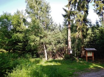
![Tour Zu Fuß Ammerbuch - DE-SAV Blauer Strich - Photo](https://media.geolcdn.com/t/350/260/1c43d1a5-d13f-42b3-a45d-a383642148f0.jpeg&format=jpg&maxdim=2)
![Zu Fuß Zu Fuß](https://static1.geolcdn.com/sitytour/trail-icons/100.png)
Km
Zu Fuß
![](/images/other/stat-length.png)
![](https://static1.geolcdn.com/siteimages/upload/files/1508320355ic_sort_den_pos_24dp.png)
![](https://static1.geolcdn.com/siteimages/upload/files/1508320355ic_sort_den_neg_24dp.png)
![](https://static1.geolcdn.com/siteimages/upload/files/16400158638029165_repeat_loop_refresh_sync_direction_icon.png)
• Trail created by Schwäbischer Albverein. SAV Blauer Strich Symbol: Blauer Strich auf weißem Grund
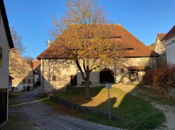
![Tour Zu Fuß Tübingen - DE-AVU 4 - Photo](https://media.geolcdn.com/t/350/260/97877c35-5e4f-4df2-aabe-47838f4f4db6.jpeg&format=jpg&maxdim=2)
![Zu Fuß Zu Fuß](https://static1.geolcdn.com/sitytour/trail-icons/100.png)
Km
Zu Fuß
![](/images/other/stat-length.png)
![](https://static1.geolcdn.com/siteimages/upload/files/1508320355ic_sort_den_pos_24dp.png)
![](https://static1.geolcdn.com/siteimages/upload/files/1508320355ic_sort_den_neg_24dp.png)
![](https://static1.geolcdn.com/siteimages/upload/files/16400158638029165_repeat_loop_refresh_sync_direction_icon.png)
• Trail created by Schwäbischer Albverein, Ortsgruppe Unterjesingen. Symbol: Grüne "4" auf weißem Grund
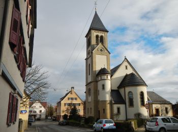
![Tour Zu Fuß Tübingen - Panoramaweg - Photo](https://media.geolcdn.com/t/350/260/6aa5992a-55cc-4e71-ab37-fea991c67bbb.jpeg&format=jpg&maxdim=2)
![Zu Fuß Zu Fuß](https://static1.geolcdn.com/sitytour/trail-icons/100.png)
Km
Zu Fuß
![](/images/other/stat-length.png)
![](https://static1.geolcdn.com/siteimages/upload/files/1508320355ic_sort_den_pos_24dp.png)
![](https://static1.geolcdn.com/siteimages/upload/files/1508320355ic_sort_den_neg_24dp.png)
![](https://static1.geolcdn.com/siteimages/upload/files/16400158638029165_repeat_loop_refresh_sync_direction_icon.png)
• Trail created by Naturpark Schönbuch. Symbol: Wegweiser mit Wegenummer 2 in Kreis und Name des Weges
20 Angezeigte Touren bei 27
Kostenlosegpshiking-Anwendung