


9,2 km | 10,6 km-effort
Landkreis Aichach-Friedberg : Entdecken Sie die besten Touren : 8 zu Fuß. Alle diese Touren, Trails, Routen und Outdoor-Aktivitäten sind in unseren SityTrail-Apps für Smartphones und Tablets verfügbar.
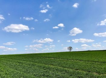
Zu Fuß


• Trail created by Landratsamt Aichach-Friedberg. Symbol: blau-gelbe Streifen
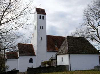
Zu Fuß
• Trail created by Landratsamt Aichach-Friedberg. Symbol: blau-gelbe Streifen
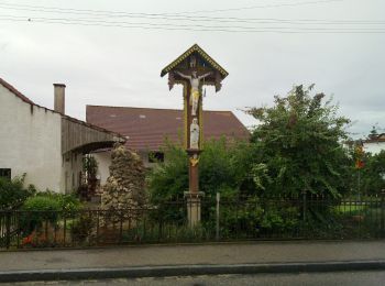
Zu Fuß
• Trail created by Landratsamt Aichach-Friedberg. Symbol: blau-gelbe Streifen

Zu Fuß
• Trail created by Landratsamt Aichach-Friedberg. Symbol: blau-gelbe Streifen

Zu Fuß
• Trail created by Landratsamt Aichach-Friedberg. Symbol: blau-gelbe Streifen
Zu Fuß
• Trail created by Landdratsamt Aichach-Friedberg. Symbol: blau-gelbe Streifen
Zu Fuß
• Trail created by Landratsamt Aichach-Friedberg. Symbol: blaugelbe Streifen
Zu Fuß
8 Angezeigte Touren bei 8
 SityTrail