


6,5 km | 7,4 km-effort
Weisendorf : Entdecken Sie die besten Touren : 9 zu Fuß. Alle diese Touren, Trails, Routen und Outdoor-Aktivitäten sind in unseren SityTrail-Apps für Smartphones und Tablets verfügbar.

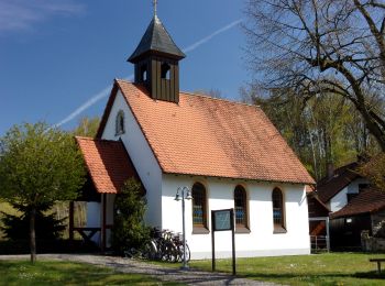
Zu Fuß


• Trail created by Weisendorf. Symbol: Schwarze Schriftzeichen auf orangen Hintergrund
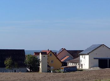
Zu Fuß
• Trail created by Weisendorf. Symbol: Schwarze Schriftzeichen auf orangen Hintergrund
Zu Fuß
• Trail created by Weisendorf. Symbol: Schwarze Schriftzeichen auf orangen Hintergrund
Zu Fuß
• Trail created by Weisendorf. Symbol: Schwarze Schriftzeichen auf orangen Hintergrund
Zu Fuß
• Trail created by Weisendorf. Symbol: Schwarze Schriftzeichen auf orangen Hintergrund
Zu Fuß
• Trail created by Weisendorf. Symbol: Schwarze Schriftzeichen auf orangen Hintergrund
Zu Fuß
• Trail created by Weisendorf. Abkürzungsmöglichkeit distance=9.8 Symbol: Schwarze Schriftzeichen auf orangen Hinterg...
Zu Fuß
• Trail created by Weisendorf. Symbol: Schwarze Schriftzeichen auf orangen Hintergrund

Zu Fuß
• Trail created by Weisendorf. Symbol: Schwarze Schriftzeichen auf orangen Hintergrund
9 Angezeigte Touren bei 9
Kostenlosegpshiking-Anwendung
 SityTrail
IGN / Geografische Institute
SityTrail World
Die Welt öffnet sich für Sie