
- Touren
- Outdoor
- Germany
- Bayern
- Landkreis Forchheim
- Pretzfeld
Pretzfeld, Landkreis Forchheim: Die besten Touren, Trails, Trecks und Wanderungen
Pretzfeld : Entdecken Sie die besten Touren : 14 zu Fuß. Alle diese Touren, Trails, Routen und Outdoor-Aktivitäten sind in unseren SityTrail-Apps für Smartphones und Tablets verfügbar.
Die besten Spuren (14)
Km
Zu Fuß


• Trail created by Landkreis Forchheim. Symbol: W2 in weiß auf blauem Hintergrund

Km
Zu Fuß


• Trail created by Landkreis Forchheim. Symbol: W1 in weiß auf grünem Hintergrund
Km
Zu Fuß


• Symbol: W3 in weiß auf rotem Hintergrund
Km
Zu Fuß


• Trail created by Gemeinde Pretzfeld. abgeschlossen (May. 2013 by cycling_zno) Symbol: Roter Ring auf weißem Grund
Km
Zu Fuß


• Trail created by Gemeinde Gößweinstein. abgeschlossen (Mär. 2013 by cycling_zno) Symbol: Schwarzer Ring auf weißem ...
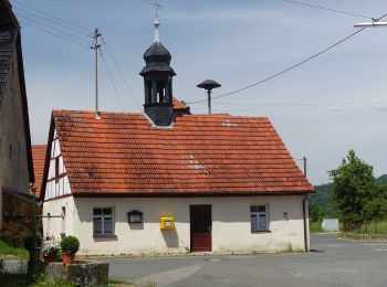
Km
Zu Fuß


• Symbol: Grüner Punkt auf weißem Hintergrund
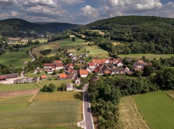
Km
Zu Fuß


• Trail created by nicht bekannt. abgeschlossen (Feb. 2013 by cycling_zno) Symbol: Gelber Punkt auf weißem Grund
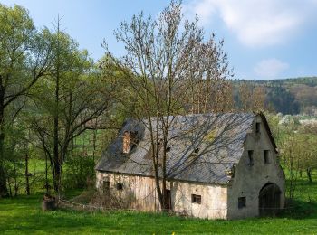
Km
Zu Fuß


• Trail created by Gemeinde Pretzfeld. abgeschlossen (May. 2013 by cycling_zno) Symbol: grüner Ring auf weißem Grund
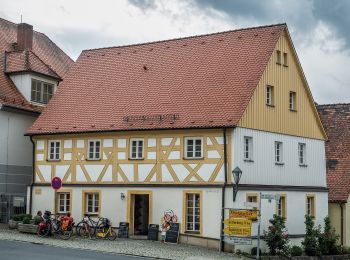
Km
Zu Fuß


• Trail created by Gemeinde Pretzfeld. abgeschlossen (Feb. 2013 by cycling_zno) Symbol: grüner Ring auf weißem Grund

Km
Zu Fuß


• Trail created by nicht bekannt. abgeschlossen (Feb. 2013 by cycling_zno) Symbol: blauer Kreis auf weißem Grund
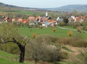
Km
Zu Fuß


• Trail created by nicht bekannt. abgeschlossen (Feb. 2013 by cycling_zno) Symbol: gelber Ring auf weißem Grund
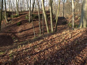
Km
Zu Fuß


• Trail created by nicht bekannt. abgeschlossen (Feb. 2013 by cycling_zno) Symbol: Roter Ring auf weißem Grund

Km
Zu Fuß


• Trail created by nicht bekannt. abgeschlossen (Feb. 2013 by cycling_zno) Symbol: Blauer Punkt auf weißem Grund

Km
Zu Fuß


• Trail created by Fränkische-Schweiz-Verein. Symbol: Zwei rote Kirschen auf weißem Grund
14 Angezeigte Touren bei 14
Kostenlosegpshiking-Anwendung


 SityTrail


