


4,1 km | 5,2 km-effort
Landkreis Pfaffenhofen an der Ilm : Entdecken Sie die besten Touren : 21 zu Fuß und 1 mit dem Fahrrad oder Mountainbike. Alle diese Touren, Trails, Routen und Outdoor-Aktivitäten sind in unseren SityTrail-Apps für Smartphones und Tablets verfügbar.
Zu Fuß


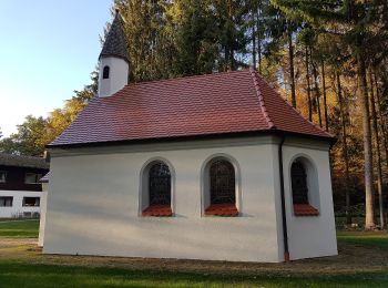
• Trail created by Waldwandergebiet Reichertshausen, Paunzhausen, Ilmmünster.

Zu Fuß
• Trail created by Waldwandergebiet Reichertshausen, Paunzhausen, Ilmmünster.
Zu Fuß
• Trail created by Waldwandergebiet Reichertshausen, Paunzhausen, Ilmmünster.
Zu Fuß
• Trail created by Waldwandergebiet Reichertshausen, Paunzhausen, Ilmmünster.
Zu Fuß
• Trail created by Waldwandergebiet Reichertshausen, Paunzhausen, Ilmmünster.
Zu Fuß
• Trail created by eQ.
Zu Fuß
• Trail created by eQ.
Zu Fuß
• Trail created by eQ.
Zu Fuß
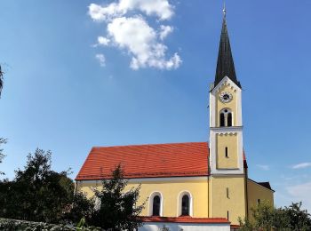
• Trail created by Gemeinde Wolnzach.
Zu Fuß
• Trail created by Altbayrisches Donaumoos eV.. Symbol: roter Pfeil
Zu Fuß
Zu Fuß
• Trail created by Gemeinde Wolnzach. Website: https://www.wolnzach.de/index.php?id=333,72

Zu Fuß
• Website: https://www.wolnzach.de/index.php?id=3554,310
Zu Fuß
• Trail created by Waldwandergebiet Reichertshausen, Paunzhausen, Ilmmünster.
Zu Fuß
• Trail created by Waldwandergebiet Reichertshausen, Paunzhausen, Ilmmünster.
Zu Fuß
Zu Fuß
Zu Fuß
Zu Fuß
Zu Fuß
20 Angezeigte Touren bei 22
Kostenlosegpshiking-Anwendung
 SityTrail
IGN / Geografische Institute
SityTrail World
Die Welt öffnet sich für Sie