


8,3 km | 11,6 km-effort
Maxhütte-Haidhof : Entdecken Sie die besten Touren : 8 zu Fuß. Alle diese Touren, Trails, Routen und Outdoor-Aktivitäten sind in unseren SityTrail-Apps für Smartphones und Tablets verfügbar.
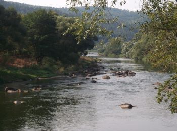
Zu Fuß


• Trail created by Stadt Burglengenfeld, Stadt Teublitz, Stadt Maxhütte-Haidhof.
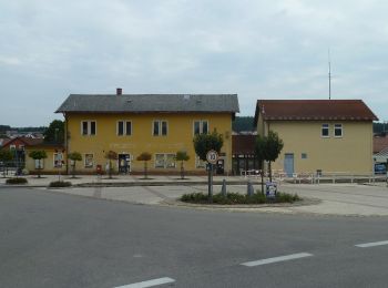
Zu Fuß
• Trail created by Stadt Burglengenfeld, Stadt Teublitz, Stadt Maxhütte-Haidhof. Symbol: yellow_round with white 14

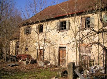
Zu Fuß
• Trail created by Waldverein Regensburg. Symbol: Rotes Rechteck auf weißem Grund
Zu Fuß
• Trail created by Waldverein Regensburg. Symbol: Rotes Rechteck auf weißem Grund
Zu Fuß
• Trail created by Waldverein Regensburg. Symbol: Blaues Rechteck auf weißem Grund

Zu Fuß
• Trail created by Stadt Burglengenfeld, Stadt Teublitz, Stadt Maxhütte-Haidhof.
Zu Fuß
• Trail created by Städte Burglengenfeld/Maxhütte-Haidhof/Teublitz.

Zu Fuß
8 Angezeigte Touren bei 8
Kostenlosegpshiking-Anwendung
 SityTrail
IGN / Geografische Institute
SityTrail World
Die Welt öffnet sich für Sie