


18,5 km | 26 km-effort
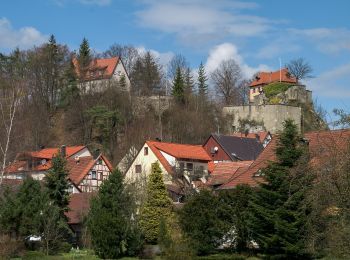
Betzenstein : Entdecken Sie die besten Touren : 6 zu Fuß. Alle diese Touren, Trails, Routen und Outdoor-Aktivitäten sind in unseren SityTrail-Apps für Smartphones und Tablets verfügbar.
Zu Fuß


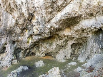
• Trail created by Heimatverein Betzenstein. abgeschlossen (Feb. 2013 by cycling_zno) Symbol: Blauer Ring auf weißem ...
Zu Fuß
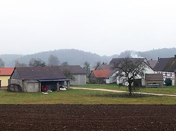
• Trail created by Fränkischer Albverein. completed by cycling_zno Symbol: Grüner Kreis auf weißem Grund
Zu Fuß
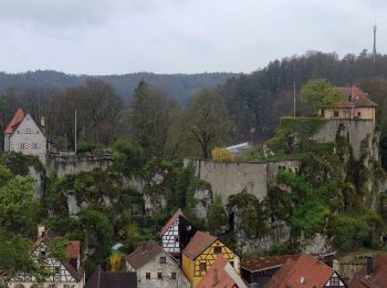
• Trail created by Heimatverein Betzenstein. abgeschlossen (Feb. 2013 by cycling_zno) Symbol: roter Senkrechtstrich a...
Zu Fuß
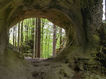
• Trail created by Heimatverein Betzenstein. abgeschlossen (Feb. 2013 by cycling_zno) Symbol: Roter Punkt auf weißem ...
Zu Fuß
• Trail created by Heimatverein Betzenstein. abgeschlossen (Feb. 2013 by cycling_zno) Symbol: Roter Ring auf weißem G...
Zu Fuß
• Trail created by Plecher Heimatverein. geprüft (Jan. 2015 by cycling_zno) Symbol: Roter Ring auf weißem Grund
6 Angezeigte Touren bei 6
Kostenlosegpshiking-Anwendung
 SityTrail
IGN / Geografische Institute
SityTrail World
Die Welt öffnet sich für Sie