![](/images/other/stat-length.png)
Landkreis Oberallgäu, Bayern: Die besten Touren, Trails, Trecks und Wanderungen
Landkreis Oberallgäu : Entdecken Sie die besten Touren : 74 zu Fuß und 1 mit dem Fahrrad oder Mountainbike. Alle diese Touren, Trails, Routen und Outdoor-Aktivitäten sind in unseren SityTrail-Apps für Smartphones und Tablets verfügbar.
Die besten Spuren (75)
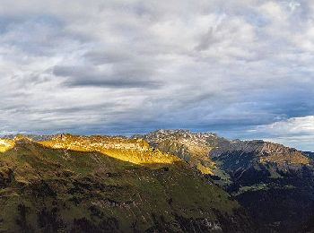
![Tour Zu Fuß Bad Hindelang - Grenzgänger - Photo](https://media.geolcdn.com/t/350/260/63e3f942-d2a7-45f2-9c48-50e91e2a0be1.jpeg&format=jpg&maxdim=2)
![Zu Fuß Zu Fuß](https://static1.geolcdn.com/sitytour/trail-icons/100.png)
Km
Zu Fuß
![](/images/other/stat-length.png)
![](https://static1.geolcdn.com/siteimages/upload/files/1508320355ic_sort_den_pos_24dp.png)
![](https://static1.geolcdn.com/siteimages/upload/files/1508320355ic_sort_den_neg_24dp.png)
![](https://static1.geolcdn.com/siteimages/upload/files/16400158638029165_repeat_loop_refresh_sync_direction_icon.png)
• Beim »Grenzgänger« handelt es sich um eine Mehrtagestour inmitten der Allgäuer Alpen Website: https://www.grenzgaeng...
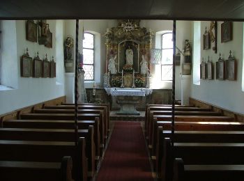
![Tour Zu Fuß Blaichach - Rundweg Alpvielfalt - Photo](https://media.geolcdn.com/t/350/260/abbc72bc-bbfa-4663-8391-0c47707b50cd.jpeg&format=jpg&maxdim=2)
![Zu Fuß Zu Fuß](https://static1.geolcdn.com/sitytour/trail-icons/100.png)
Km
Zu Fuß
![](/images/other/stat-length.png)
![](https://static1.geolcdn.com/siteimages/upload/files/1508320355ic_sort_den_pos_24dp.png)
![](https://static1.geolcdn.com/siteimages/upload/files/1508320355ic_sort_den_neg_24dp.png)
![](https://static1.geolcdn.com/siteimages/upload/files/16400158638029165_repeat_loop_refresh_sync_direction_icon.png)
• Symbol: Beschilderung Alpvielfalt
![Tour Zu Fuß Buchenberg - CvL Planetenweg - Photo](https://media.geolcdn.com/t/350/260/a5d177c4-2fd9-4b3d-946c-8927721425f2.jpeg&format=jpg&maxdim=2)
![Zu Fuß Zu Fuß](https://static1.geolcdn.com/sitytour/trail-icons/100.png)
Km
Zu Fuß
![](/images/other/stat-length.png)
![](https://static1.geolcdn.com/siteimages/upload/files/1508320355ic_sort_den_pos_24dp.png)
![](https://static1.geolcdn.com/siteimages/upload/files/1508320355ic_sort_den_neg_24dp.png)
![](https://static1.geolcdn.com/siteimages/upload/files/16400158638029165_repeat_loop_refresh_sync_direction_icon.png)
• Trail created by Carl-von-Linde-Gymnasium, Kempten. Symbol: weißer Keil auf schwarzem Grund
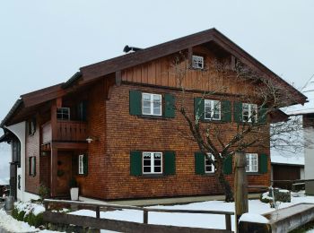
![Tour Zu Fuß Oberstdorf - K - Über Kornau zum Bergkristall - Photo](https://media.geolcdn.com/t/350/260/15d40373-407b-42c0-8a77-b924c42bcedd.jpeg&format=jpg&maxdim=2)
![Zu Fuß Zu Fuß](https://static1.geolcdn.com/sitytour/trail-icons/100.png)
Km
Zu Fuß
![](/images/other/stat-length.png)
![](https://static1.geolcdn.com/siteimages/upload/files/1508320355ic_sort_den_pos_24dp.png)
![](https://static1.geolcdn.com/siteimages/upload/files/1508320355ic_sort_den_neg_24dp.png)
![](https://static1.geolcdn.com/siteimages/upload/files/16400158638029165_repeat_loop_refresh_sync_direction_icon.png)
• Trail created by Tourismus Oberstdorf.
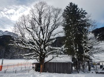
![Tour Zu Fuß Oberstdorf - B - Winterwanderung ins Stillachtal - Photo](https://media.geolcdn.com/t/350/260/30177533-1ffc-4f46-bb0c-a79ff02ce74e.jpeg&format=jpg&maxdim=2)
![Zu Fuß Zu Fuß](https://static1.geolcdn.com/sitytour/trail-icons/100.png)
Km
Zu Fuß
![](/images/other/stat-length.png)
![](https://static1.geolcdn.com/siteimages/upload/files/1508320355ic_sort_den_pos_24dp.png)
![](https://static1.geolcdn.com/siteimages/upload/files/1508320355ic_sort_den_neg_24dp.png)
![](https://static1.geolcdn.com/siteimages/upload/files/16400158638029165_repeat_loop_refresh_sync_direction_icon.png)
• Trail created by Tourismus Oberstdorf.
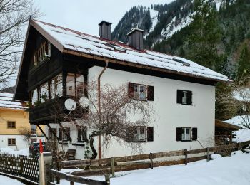
![Tour Zu Fuß Oberstdorf - D - Gerstruben - ein Bergdorf im Winter - Photo](https://media.geolcdn.com/t/350/260/6e8ca77f-b893-4281-a356-07d5f68010dd.jpeg&format=jpg&maxdim=2)
![Zu Fuß Zu Fuß](https://static1.geolcdn.com/sitytour/trail-icons/100.png)
Km
Zu Fuß
![](/images/other/stat-length.png)
![](https://static1.geolcdn.com/siteimages/upload/files/1508320355ic_sort_den_pos_24dp.png)
![](https://static1.geolcdn.com/siteimages/upload/files/1508320355ic_sort_den_neg_24dp.png)
![](https://static1.geolcdn.com/siteimages/upload/files/16400158638029165_repeat_loop_refresh_sync_direction_icon.png)
• Trail created by Tourismus Oberstdorf.
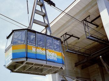
![Tour Zu Fuß Oberstdorf - O - Winterwanderung ins Oytal - Photo](https://media.geolcdn.com/t/350/260/a29b0eba-9f49-48a4-ae9e-04d5ec204ee8.jpeg&format=jpg&maxdim=2)
![Zu Fuß Zu Fuß](https://static1.geolcdn.com/sitytour/trail-icons/100.png)
Km
Zu Fuß
![](/images/other/stat-length.png)
![](https://static1.geolcdn.com/siteimages/upload/files/1508320355ic_sort_den_pos_24dp.png)
![](https://static1.geolcdn.com/siteimages/upload/files/1508320355ic_sort_den_neg_24dp.png)
![](https://static1.geolcdn.com/siteimages/upload/files/16400158638029165_repeat_loop_refresh_sync_direction_icon.png)
• Trail created by Tourismus Oberstdorf.
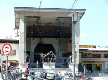
![Tour Zu Fuß Oberstdorf - G - Winterwanderung zur Gaisalpe - Photo](https://media.geolcdn.com/t/350/260/b649c224-37a0-44b8-90cc-2d0ba94d1173.jpeg&format=jpg&maxdim=2)
![Zu Fuß Zu Fuß](https://static1.geolcdn.com/sitytour/trail-icons/100.png)
Km
Zu Fuß
![](/images/other/stat-length.png)
![](https://static1.geolcdn.com/siteimages/upload/files/1508320355ic_sort_den_pos_24dp.png)
![](https://static1.geolcdn.com/siteimages/upload/files/1508320355ic_sort_den_neg_24dp.png)
![](https://static1.geolcdn.com/siteimages/upload/files/16400158638029165_repeat_loop_refresh_sync_direction_icon.png)
• Trail created by Tourismus Oberstdorf.
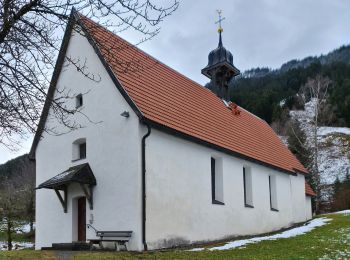
![Tour Zu Fuß Oberstdorf - Ru - Im Winter zur Schöllanger Burgkirche - Photo](https://media.geolcdn.com/t/350/260/13d0827c-467f-46e1-a329-fc539ccc3e26.jpeg&format=jpg&maxdim=2)
![Zu Fuß Zu Fuß](https://static1.geolcdn.com/sitytour/trail-icons/100.png)
Km
Zu Fuß
![](/images/other/stat-length.png)
![](https://static1.geolcdn.com/siteimages/upload/files/1508320355ic_sort_den_pos_24dp.png)
![](https://static1.geolcdn.com/siteimages/upload/files/1508320355ic_sort_den_neg_24dp.png)
![](https://static1.geolcdn.com/siteimages/upload/files/16400158638029165_repeat_loop_refresh_sync_direction_icon.png)
• Trail created by Tourismus Oberstdorf.
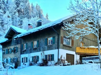
![Tour Zu Fuß Oberstdorf - Ro - Ins winterliche Rohrmoos - Photo](https://media.geolcdn.com/t/350/260/cc93af2f-5850-46aa-a6ed-7b7e59aabfe3.jpeg&format=jpg&maxdim=2)
![Zu Fuß Zu Fuß](https://static1.geolcdn.com/sitytour/trail-icons/100.png)
Km
Zu Fuß
![](/images/other/stat-length.png)
![](https://static1.geolcdn.com/siteimages/upload/files/1508320355ic_sort_den_pos_24dp.png)
![](https://static1.geolcdn.com/siteimages/upload/files/1508320355ic_sort_den_neg_24dp.png)
![](https://static1.geolcdn.com/siteimages/upload/files/16400158638029165_repeat_loop_refresh_sync_direction_icon.png)
• Trail created by Tourismus Oberstdorf.
![Tour Zu Fuß Obermaiselstein - Beslerrunde - Photo](https://media.geolcdn.com/t/350/260/e1e8dae7-0c73-499a-b72a-b25dc7b51a29.jpeg&format=jpg&maxdim=2)
![Zu Fuß Zu Fuß](https://static1.geolcdn.com/sitytour/trail-icons/100.png)
Km
Zu Fuß
![](/images/other/stat-length.png)
![](https://static1.geolcdn.com/siteimages/upload/files/1508320355ic_sort_den_pos_24dp.png)
![](https://static1.geolcdn.com/siteimages/upload/files/1508320355ic_sort_den_neg_24dp.png)
![](https://static1.geolcdn.com/siteimages/upload/files/16400158638029165_repeat_loop_refresh_sync_direction_icon.png)
• Trail created by Gemeinde Obermaiselstein. Kein simples Symbol verfügbar. Auf den Wanderwegweisern wird ein Logo mit...
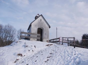
![Tour Zu Fuß Sulzberg - Rundwanderweg Sulzberg 7 - Photo](https://media.geolcdn.com/t/350/260/a5778209-4c06-486b-9c2b-27d6fce84019.jpeg&format=jpg&maxdim=2)
![Zu Fuß Zu Fuß](https://static1.geolcdn.com/sitytour/trail-icons/100.png)
Km
Zu Fuß
![](/images/other/stat-length.png)
![](https://static1.geolcdn.com/siteimages/upload/files/1508320355ic_sort_den_pos_24dp.png)
![](https://static1.geolcdn.com/siteimages/upload/files/1508320355ic_sort_den_neg_24dp.png)
![](https://static1.geolcdn.com/siteimages/upload/files/16400158638029165_repeat_loop_refresh_sync_direction_icon.png)
• Trail created by Markt Sulzberg. Symbol: Weißes R7 auf grünem Grund
![Tour Zu Fuß Sulzberg - Rundwanderweg Sulzberg 4 - Photo](https://media.geolcdn.com/t/350/260/a5778209-4c06-486b-9c2b-27d6fce84019.jpeg&format=jpg&maxdim=2)
![Zu Fuß Zu Fuß](https://static1.geolcdn.com/sitytour/trail-icons/100.png)
Km
Zu Fuß
![](/images/other/stat-length.png)
![](https://static1.geolcdn.com/siteimages/upload/files/1508320355ic_sort_den_pos_24dp.png)
![](https://static1.geolcdn.com/siteimages/upload/files/1508320355ic_sort_den_neg_24dp.png)
![](https://static1.geolcdn.com/siteimages/upload/files/16400158638029165_repeat_loop_refresh_sync_direction_icon.png)
• Trail created by Markt Sulzberg. Symbol: Weißes R4 auf grünem Grund
![Tour Zu Fuß Sulzberg - Rundwanderweg Sulzberg 3 - Photo](https://media.geolcdn.com/t/350/260/2cb5eb63-be22-4b84-b64e-6bafc4145472.jpeg&format=jpg&maxdim=2)
![Zu Fuß Zu Fuß](https://static1.geolcdn.com/sitytour/trail-icons/100.png)
Km
Zu Fuß
![](/images/other/stat-length.png)
![](https://static1.geolcdn.com/siteimages/upload/files/1508320355ic_sort_den_pos_24dp.png)
![](https://static1.geolcdn.com/siteimages/upload/files/1508320355ic_sort_den_neg_24dp.png)
![](https://static1.geolcdn.com/siteimages/upload/files/16400158638029165_repeat_loop_refresh_sync_direction_icon.png)
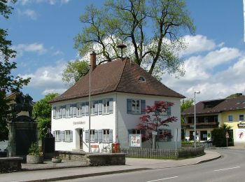
• Trail created by Markt Sulzberg. Symbol: Weißes R3 auf grünem Grund
![Tour Zu Fuß Sulzberg - Rundwanderweg Sulzberg 12 - Photo](https://media.geolcdn.com/t/350/260/d3e90803-a85b-4888-bc75-90b53229b647.jpeg&format=jpg&maxdim=2)
![Zu Fuß Zu Fuß](https://static1.geolcdn.com/sitytour/trail-icons/100.png)
Km
Zu Fuß
![](/images/other/stat-length.png)
![](https://static1.geolcdn.com/siteimages/upload/files/1508320355ic_sort_den_pos_24dp.png)
![](https://static1.geolcdn.com/siteimages/upload/files/1508320355ic_sort_den_neg_24dp.png)
![](https://static1.geolcdn.com/siteimages/upload/files/16400158638029165_repeat_loop_refresh_sync_direction_icon.png)
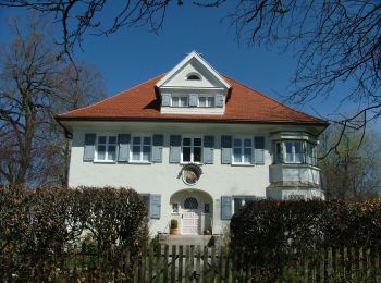
• Trail created by Markt Sulzberg. Symbol: Weißes R12 auf grünem Grund
![Tour Zu Fuß Sulzberg - Rundwanderweg Sulzberg 9 - Photo](https://media.geolcdn.com/t/350/260/80eb8248-27e3-4601-bfa1-6b8ad980bdbe.jpeg&format=jpg&maxdim=2)
![Zu Fuß Zu Fuß](https://static1.geolcdn.com/sitytour/trail-icons/100.png)
Km
Zu Fuß
![](/images/other/stat-length.png)
![](https://static1.geolcdn.com/siteimages/upload/files/1508320355ic_sort_den_pos_24dp.png)
![](https://static1.geolcdn.com/siteimages/upload/files/1508320355ic_sort_den_neg_24dp.png)
![](https://static1.geolcdn.com/siteimages/upload/files/16400158638029165_repeat_loop_refresh_sync_direction_icon.png)
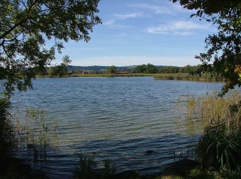
• Trail created by Markt Sulzberg. Symbol: Weißes R9 auf grünem Grund
![Tour Zu Fuß Sulzberg - Rundwanderweg Sulzberg 10 - Photo](https://media.geolcdn.com/t/350/260/2cb5eb63-be22-4b84-b64e-6bafc4145472.jpeg&format=jpg&maxdim=2)
![Zu Fuß Zu Fuß](https://static1.geolcdn.com/sitytour/trail-icons/100.png)
Km
Zu Fuß
![](/images/other/stat-length.png)
![](https://static1.geolcdn.com/siteimages/upload/files/1508320355ic_sort_den_pos_24dp.png)
![](https://static1.geolcdn.com/siteimages/upload/files/1508320355ic_sort_den_neg_24dp.png)
![](https://static1.geolcdn.com/siteimages/upload/files/16400158638029165_repeat_loop_refresh_sync_direction_icon.png)
• Trail created by Markt Sulzberg. Symbol: Weißes R10 auf grünem Grund
![Tour Zu Fuß Sulzberg - Rundwanderweg Sulzberg 2 - Photo](https://media.geolcdn.com/t/350/260/d3e90803-a85b-4888-bc75-90b53229b647.jpeg&format=jpg&maxdim=2)
![Zu Fuß Zu Fuß](https://static1.geolcdn.com/sitytour/trail-icons/100.png)
Km
Zu Fuß
![](/images/other/stat-length.png)
![](https://static1.geolcdn.com/siteimages/upload/files/1508320355ic_sort_den_pos_24dp.png)
![](https://static1.geolcdn.com/siteimages/upload/files/1508320355ic_sort_den_neg_24dp.png)
![](https://static1.geolcdn.com/siteimages/upload/files/16400158638029165_repeat_loop_refresh_sync_direction_icon.png)
• Trail created by Markt Sulzberg. Symbol: Weißes R2 auf grünem Grund
![Tour Zu Fuß Sulzberg - Rundwanderweg Sulzberg 5 - Photo](https://media.geolcdn.com/t/350/260/2cb5eb63-be22-4b84-b64e-6bafc4145472.jpeg&format=jpg&maxdim=2)
![Zu Fuß Zu Fuß](https://static1.geolcdn.com/sitytour/trail-icons/100.png)
Km
Zu Fuß
![](/images/other/stat-length.png)
![](https://static1.geolcdn.com/siteimages/upload/files/1508320355ic_sort_den_pos_24dp.png)
![](https://static1.geolcdn.com/siteimages/upload/files/1508320355ic_sort_den_neg_24dp.png)
![](https://static1.geolcdn.com/siteimages/upload/files/16400158638029165_repeat_loop_refresh_sync_direction_icon.png)
• Trail created by Markt Sulzberg. Symbol: Weißes R5 auf grünem Grund
![Tour Zu Fuß Sulzberg - Rundwanderweg Sulzberg 6 - Photo](https://media.geolcdn.com/t/350/260/bcbca0ae-4fe7-4642-b2dc-aec96581d6c1.jpeg&format=jpg&maxdim=2)
![Zu Fuß Zu Fuß](https://static1.geolcdn.com/sitytour/trail-icons/100.png)
Km
Zu Fuß
![](/images/other/stat-length.png)
![](https://static1.geolcdn.com/siteimages/upload/files/1508320355ic_sort_den_pos_24dp.png)
![](https://static1.geolcdn.com/siteimages/upload/files/1508320355ic_sort_den_neg_24dp.png)
![](https://static1.geolcdn.com/siteimages/upload/files/16400158638029165_repeat_loop_refresh_sync_direction_icon.png)
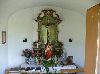
• Trail created by Markt Sulzberg. Symbol: Weißes R6 auf grünem Grund
20 Angezeigte Touren bei 75
Kostenlosegpshiking-Anwendung