


12,1 km | 14,1 km-effort
Rochlitz : Entdecken Sie die besten Touren : 8 zu Fuß. Alle diese Touren, Trails, Routen und Outdoor-Aktivitäten sind in unseren SityTrail-Apps für Smartphones und Tablets verfügbar.
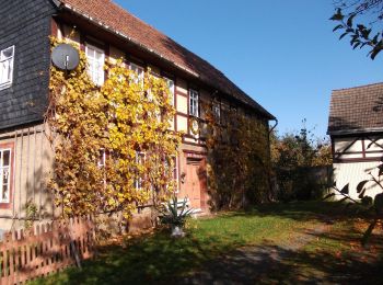
Zu Fuß


• Symbol: Gelber Balken auf weißem Rechteck
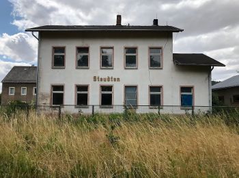
Zu Fuß
• Symbol: grüner Balken auf weißem Grund
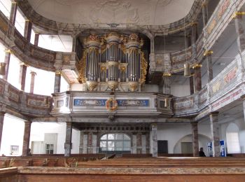
Zu Fuß
• Symbol: Gelber Balken auf weißem Grund
Zu Fuß
• Symbol: grüner Punkt auf weißem Grund
Zu Fuß
• Symbol: gelber Punkt auf weißem Grund
Zu Fuß
• Symbol: Gelber Balken auf weißem Rechteck
Zu Fuß
• Symbol: Innungszeichen der Steinmetze, dargestellt in einem Roch, einem prägendenSymbol des Rochlitzer Stadtwappens ...
Zu Fuß
• Symbol: grüner Strich,weißer Grund
8 Angezeigte Touren bei 8
Kostenlosegpshiking-Anwendung
 SityTrail
IGN / Geografische Institute
SityTrail World
Die Welt öffnet sich für Sie