


7,4 km | 9,1 km-effort
Südböhmische Region : Entdecken Sie die besten Touren : 167 zu Fuß und 2 mit dem Fahrrad oder Mountainbike. Alle diese Touren, Trails, Routen und Outdoor-Aktivitäten sind in unseren SityTrail-Apps für Smartphones und Tablets verfügbar.
Zu Fuß


• VLS ČR, s.p. je státní společnost s více než 80. letou tradicí, s kořeny v první republice. Website: https://www.vls...
Zu Fuß
• Symbol: blauer, stilisierter s-förmiger Weg auf weißem, rechteckigen Grund Website: https://zlatoustezkou.cz/route/...
Zu Fuß
• Tour erstellt von KČT.
Zu Fuß
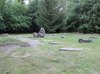
• Tour erstellt von obec Albrechtice n. Vlt.. chybi zastaveni 8 v Albrechticich
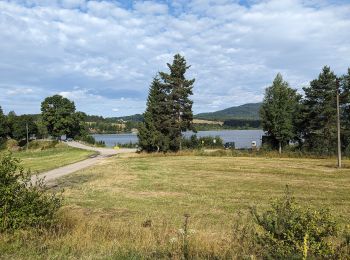
![Tour Zu Fuß Pisek - [Č] Písek - Velká Brašna - Photo](https://media.geolcdn.com/t/350/260/bfca88cd-0504-44c2-9a66-8e406f087387.jpeg&format=jpg&maxdim=2)
Zu Fuß
• Tour erstellt von cz:KČT.
Zu Fuß
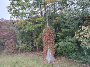
• Tour erstellt von cz:KČT. Symbol: white yellow white
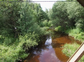
![Tour Zu Fuß Moldautein - [Ž] Nad Překvapením - Semenec (rozhl.) - Photo](https://media.geolcdn.com/t/350/260/5b43c739-7905-4a0c-8a8b-63468991b1a9.jpeg&format=jpg&maxdim=2)
Zu Fuß
• Tour erstellt von cz:KČT.
Zu Fuß
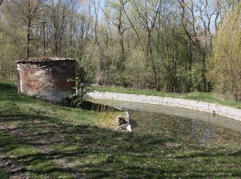
• Tour erstellt von cz:KČT.
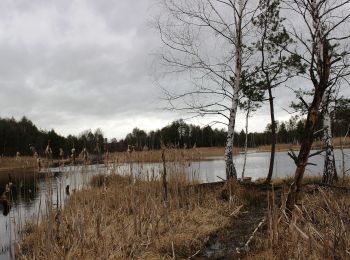
![Tour Zu Fuß Mühlhausen - [Č] Milevsko - Jetětice - Photo](https://media.geolcdn.com/t/350/260/19b73443-10f3-4ee2-b906-2593e9794aea.jpeg&format=jpg&maxdim=2)
Zu Fuß
• Tour erstellt von cz:KČT.
Zu Fuß
• Tour erstellt von cz:KČT.
Zu Fuß
• Tour erstellt von cz:KČT.
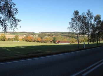
![Tour Zu Fuß Mühlhausen - [Ž] Budák rybník - Karlov - Photo](https://media.geolcdn.com/t/350/260/6a7dbc34-5b93-44a1-bcc9-52d789012a05.jpeg&format=jpg&maxdim=2)
Zu Fuß
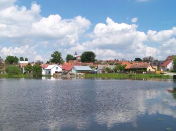
• Tour erstellt von cz:KČT.
![Tour Zu Fuß Vlkov - [Z] Veselí nad Lužnicí - Vlkov - Photo](https://media.geolcdn.com/t/350/260/5f369528-2855-4942-97de-c16c1e2154da.jpeg&format=jpg&maxdim=2)
Zu Fuß
• Tour erstellt von cz:KČT.
Zu Fuß
• Tour erstellt von cz:KČT.
Zu Fuß
• Tour erstellt von cz:KČT.
Zu Fuß
• Tour erstellt von cz:KČT.
Zu Fuß
• Tour erstellt von cz:KČT.
Zu Fuß
• Tour erstellt von cz:KČT.
Zu Fuß
• Tour erstellt von cz:KČT.
Zu Fuß
• Tour erstellt von cz:KČT.
20 Angezeigte Touren bei 170
Kostenlosegpshiking-Anwendung
 SityTrail
IGN / Geografische Institute
SityTrail World
Die Welt öffnet sich für Sie