


5,9 km | 8,5 km-effort
Gruyères : Entdecken Sie die besten Touren : 7 zu Fuß und 2 mit dem Fahrrad oder Mountainbike. Alle diese Touren, Trails, Routen und Outdoor-Aktivitäten sind in unseren SityTrail-Apps für Smartphones und Tablets verfügbar.
Zu Fuß


Wandern
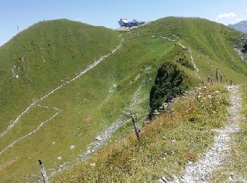
• Très belle randonnée. Les plus courageux peuvent partir depuis Moleson Village, mais il faisait trop chaud ce 26 juil...

Andere Aktivitäten
•

Fahrrad
•

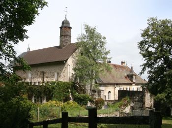
Wandern
Wandern
•
Andere Aktivitäten
•
Fahrrad
Andere Aktivitäten
Wandern
Wandern
Andere Aktivitäten

Wintersport
Wandern
Andere Aktivitäten
15 Angezeigte Touren bei 15
Kostenlosegpshiking-Anwendung
 SityTrail
IGN / Geografische Institute
SityTrail World
Die Welt öffnet sich für Sie