


14,2 km | 17,2 km-effort
District de Morges : Entdecken Sie die besten Touren : 35 zu Fuß, 10 mit dem Fahrrad oder Mountainbike und 1 auf dem Pferderücken. Alle diese Touren, Trails, Routen und Outdoor-Aktivitäten sind in unseren SityTrail-Apps für Smartphones und Tablets verfügbar.
Wandern


Wandern
•

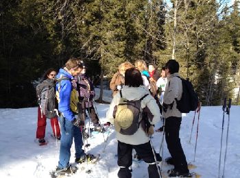
Schneeschuhwandern

Mountainbike
Wandern
Schneeschuhwandern
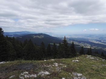
• A faire par beau temps. Vue superbe sur les Alpes le lac Léman les Monts Jura.
Wandern
• Voyage d'Apples à l'Isle pendant que Michèle négocie avec Baerfuss !!
Wandern
Hybrid-Bike

Mountainbike
Schneeschuhwandern
Wandern
•
Wandern
Wandern
• L'arboretum du Vallon de l'Aubonne (VD-suisse) au début du printemps.
Wandern

Andere Aktivitäten
• Facile et souvent degage
Wandern
• Bord du lac Leman : Morges Préverenges / Venoge jusqu'à Bussigny / Champs et vignes jusqu'à Bremblens et Morges
Wandern
• Ballade
Wandern
•

Pferd
20 Angezeigte Touren bei 85
Kostenlosegpshiking-Anwendung
 SityTrail
IGN / Geografische Institute
SityTrail World
Die Welt öffnet sich für Sie