


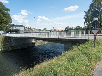
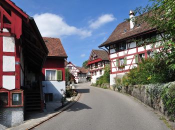
6,8 km | 9,3 km-effort
Bezirk Bülach : Entdecken Sie die besten Touren : 91 zu Fuß und 1 mit dem Fahrrad oder Mountainbike. Alle diese Touren, Trails, Routen und Outdoor-Aktivitäten sind in unseren SityTrail-Apps für Smartphones und Tablets verfügbar.
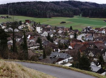
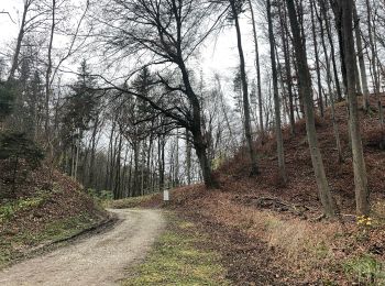
Zu Fuß


• Trail created by Zürcher Wanderwege ZAW. Symbol: gelbe Raute
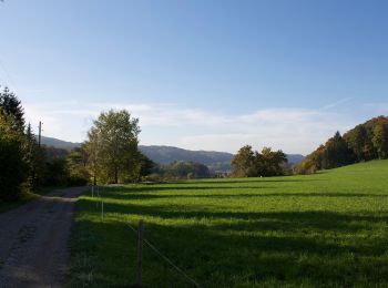
Zu Fuß
• Trail created by Zürcher Wanderwege ZAW. Symbol: gelbe Raute
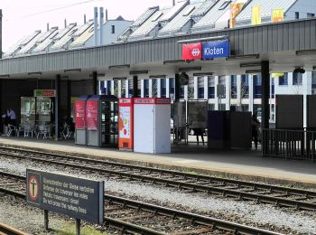
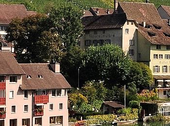
Zu Fuß
• Trail created by Zürcher Wanderwege ZAW. Symbol: gelbe Raute
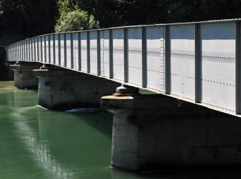
Zu Fuß
• Trail created by Zürcher Wanderwege ZAW. Symbol: gelbe Raute
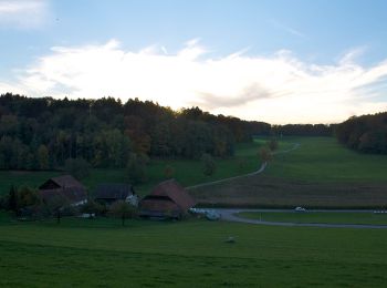
Zu Fuß
• Trail created by Zürcher Wanderwege ZAW. Symbol: gelbe Raute
Zu Fuß
• Trail created by Zürcher Wanderwege ZAW. Symbol: gelbe Raute
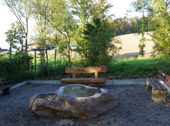
Zu Fuß
• Trail created by Zürcher Wanderwege ZAW. Symbol: gelbe Raute
Zu Fuß
• Symbol: gelbe Raute
Zu Fuß
• Trail created by Zürcher Wanderwege ZAW. Symbol: gelbe Raute
Zu Fuß
• Trail created by Zürcher Wanderwege ZAW. Symbol: gelbe Raute
Zu Fuß
• Trail created by Zürcher Wanderwege ZAW. Symbol: gelbe Raute
Zu Fuß
• Trail created by Zürcher Wanderwege ZAW. Symbol: gelbe Raute
Zu Fuß
• Trail created by Zürcher Wanderwege ZAW. Symbol: gelbe Raute
Zu Fuß
• Trail created by Zürcher Wanderwege ZAW. Symbol: gelbe Raute
Zu Fuß
• Trail created by Zürcher Wanderwege ZAW. Symbol: gelbe Raute
Zu Fuß
• Trail created by Zürcher Wanderwege ZAW. Symbol: gelbe Raute
Zu Fuß
• Trail created by Zürcher Wanderwege ZAW. Symbol: gelbe Raute
Zu Fuß
• Trail created by Zürcher Wanderwege ZAW. Symbol: gelbe Raute
Zu Fuß
• Trail created by Zürcher Wanderwege ZAW. Symbol: gelbe Raute
Zu Fuß
• Trail created by Zürcher Wanderwege ZAW. Symbol: gelbe Raute
20 Angezeigte Touren bei 94
Kostenlosegpshiking-Anwendung
 SityTrail
IGN / Geografische Institute
SityTrail World
Die Welt öffnet sich für Sie