


8,7 km | 9,4 km-effort
Bocholt : Entdecken Sie die besten Touren : 12 zu Fuß und 2 mit dem Fahrrad oder Mountainbike. Alle diese Touren, Trails, Routen und Outdoor-Aktivitäten sind in unseren SityTrail-Apps für Smartphones und Tablets verfügbar.
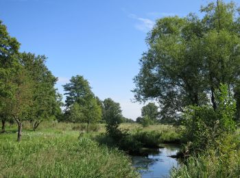
Zu Fuß


• Trail created by Regionaal Landschap Kempen en Maasland. Symbol: dot
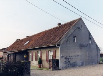
Zu Fuß
• Trail created by Regionaal Landschap Kempen en Maasland. Symbol: triangle
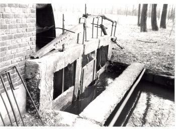
Zu Fuß
• Trail created by Regionaal Landschap Kempen en Maasland. Symbol: rectangle
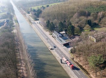
Zu Fuß
• Trail created by Regionaal Landschap Kempen en Maasland. Symbol: rectangle
Zu Fuß
• Trail created by Regionaal Landschap Kempen en Maasland. Symbol: x

Zu Fuß
• Trail created by Regionaal Landschap Kempen en Maasland. Symbol: triangle
Zu Fuß
• Trail created by Regionaal Landschap Kempen en Maasland. Symbol: x
Zu Fuß
• Trail created by Regionaal Landschap Kempen en Maasland. Symbol: hexagon

Wandern
• More information on : http://www.wandelroutes.org
Wandern
• More information on : http://www.wandelroutes.org

Fahrrad
• Bierroute Limburgse Kempen vanuit Bocholt
Mountainbike
Wandern
Wandern
14 Angezeigte Touren bei 14
Kostenlosegpshiking-Anwendung
 SityTrail
IGN / Geografische Institute
SityTrail World
Die Welt öffnet sich für Sie