


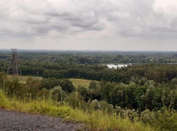
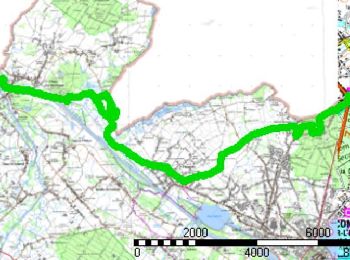
25 km | 27 km-effort
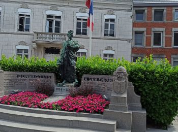
Bon-Secours : Entdecken Sie die besten Touren : 35 zu Fuß, 1 mit dem Fahrrad oder Mountainbike und 3 auf dem Pferderücken. Alle diese Touren, Trails, Routen und Outdoor-Aktivitäten sind in unseren SityTrail-Apps für Smartphones und Tablets verfügbar.

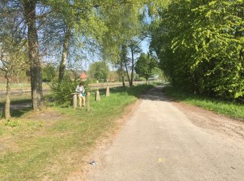
Wandern


• Au départ de Bon-Secours cette randonnée rejoint Vieux-Condé par les monts de Péruwelz et Copiémont, Hergnies et l'ét...
Wandern
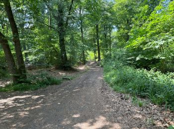
• Forêts Portion limite impraticable vu ronces orties épineux
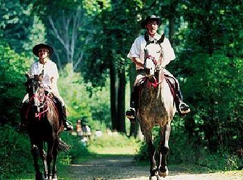
Pferd
• Trail created by Wallonie Picarde (Antenne Tournai) .

Zu Fuß
• Trail created by Wallonie Picarde (Antenne Tournai) .

Zu Fuß
• Trail created by Wallonie Picarde (Antenne Tournai) .
Wandern
Wandern
Wandern
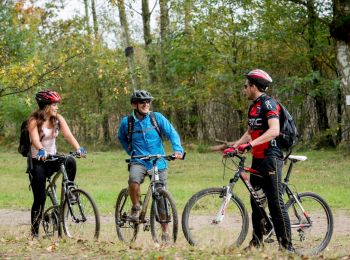
Mountainbike
• Trail created by Wallonie Picarde (Antenne Tournai) .

Wandern
Wandern
Nordic Walking
Nordic Walking
Wandern
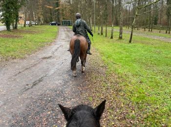
Reiten
• rituele wandeling
Wandern

 4.213
4.213
sport
Wandern
Wandern

Wandern
20 Angezeigte Touren bei 42
Kostenlosegpshiking-Anwendung
 SityTrail
IGN / Geografische Institute
SityTrail World
Die Welt öffnet sich für Sie