


8,6 km | 10,3 km-effort
Chaumont-Gistoux : Entdecken Sie die besten Touren : 369 zu Fuß und 33 mit dem Fahrrad oder Mountainbike. Alle diese Touren, Trails, Routen und Outdoor-Aktivitäten sind in unseren SityTrail-Apps für Smartphones und Tablets verfügbar.

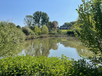
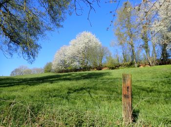
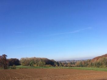
Wandern


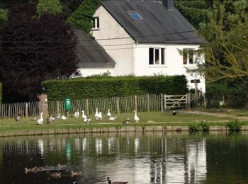
• Cette promenade vous conduira de Dion-le-Mont à Dion-le-Val en passant par la crête et vous ramènera au point de dépa...
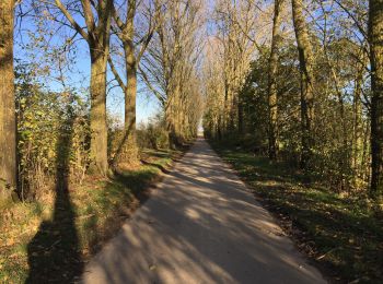
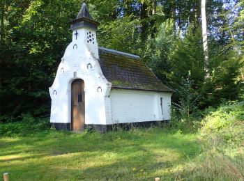
Wandern
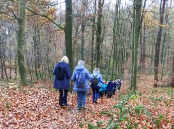
Wandern
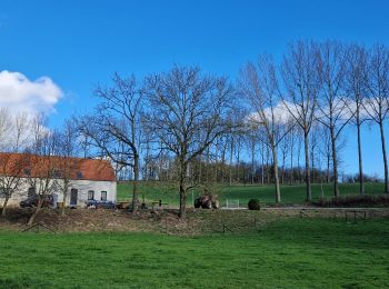
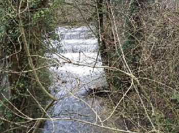
Wandern

Wandern
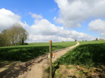
Wandern
Wandern
Zu Fuß
Zu Fuß
Wandern
Wandern
• une partie de la vallée du Train aux alentours de Gistoux.___www.marcheursdumardi.be___
Wandern
• LES ARDENNES BRABANÇONNES sont situées au coeur du Brabant wallon, à quelque vingt kilomètres de Bruxelles. Ce pays d...
Wandern
• Située dans la partie Est du Brabant Wallon, la région de Chamont-Gistoux possède des attraits indéniables tant pour ...
Wandern
• Cette promenade se déroule en grande partie sur l’assise de l’ancienne ligne de tram Courcelles –Chastre – Chaumont-G...
Wandern
Wandern
Wandern
Wandern
Zu Fuß
Zu Fuß
20 Angezeigte Touren bei 419
Kostenlosegpshiking-Anwendung
 SityTrail
IGN / Geografische Institute
SityTrail World
Die Welt öffnet sich für Sie