


10,3 km | 12,6 km-effort
Lasne : Entdecken Sie die besten Touren : 383 zu Fuß und 34 mit dem Fahrrad oder Mountainbike. Alle diese Touren, Trails, Routen und Outdoor-Aktivitäten sind in unseren SityTrail-Apps für Smartphones und Tablets verfügbar.
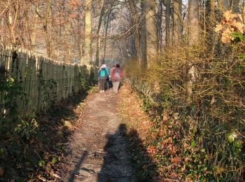
Wandern


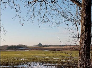
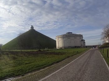
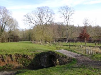
• Lasne – Ohain - Lasne Commune opulente, Lasne est également riche d’un exceptionnel réseau de chemins et sentiers, t...
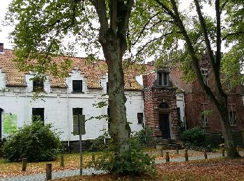
Wandern
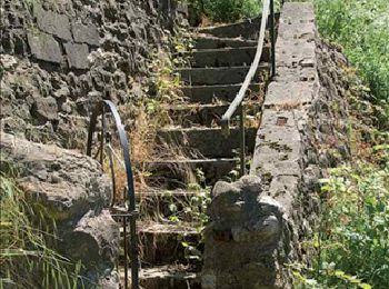
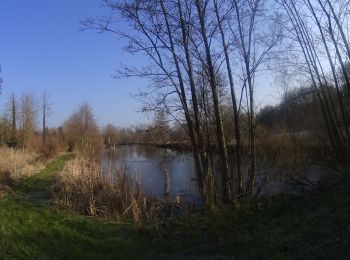
• Lasne – Ohain – Plancenoit – Couture-Saint-Germain – Lasne Commune opulente, Lasne est également riche d’un exceptio...

Wandern
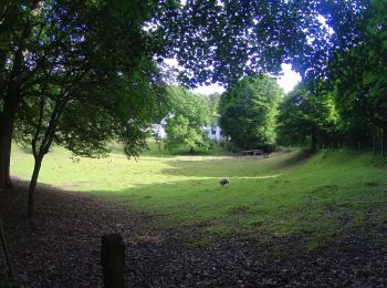
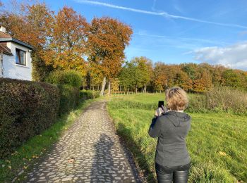
• Lasne – Ohain – Plancenoit – Maransart – Couture-Saint-Germain – Lasne Commune opulente, Lasne est également riche d...
Mountainbike
Mountainbike
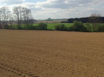
Wandern
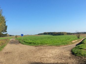
Wandern
Wandern
Wandern
• Jolie promebade entre Ransbeck et la Marache.
Wandern
Wandern
Wandern
Wandern
Wandern
• Details sur TraceGPS.com http://www.tracegps.com/fr/parcours/circuit5460.htm

Wandern
• Details sur TraceGPS.com http://www.tracegps.com/fr/parcours/circuit5512.htm
Wandern
• Details sur TraceGPS.com http://www.tracegps.com/fr/parcours/circuit5734.htm
Wandern
Mountainbike

Zu Fuß
• Trail created by Ville d’Ottignies-Louvain-la-Neuve. Website: http://www.tourisme-olln.be
Wandern
20 Angezeigte Touren bei 425
Kostenlosegpshiking-Anwendung
 SityTrail
IGN / Geografische Institute
SityTrail World
Die Welt öffnet sich für Sie