


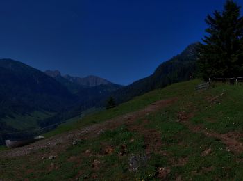
4,9 km | 11,5 km-effort
Gemeinde Walchsee : Entdecken Sie die besten Touren : 14 zu Fuß. Alle diese Touren, Trails, Routen und Outdoor-Aktivitäten sind in unseren SityTrail-Apps für Smartphones und Tablets verfügbar.

Zu Fuß


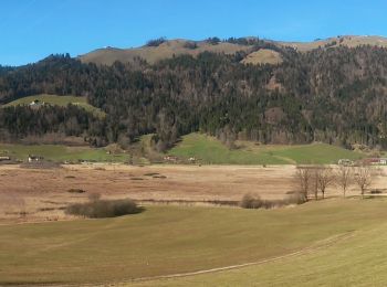
• Trail created by Verkehrsverein Schleching e.V.. Symbol: Weiße Schilder mit schwarzer Schrift und Zahl oder rote Pun...
Zu Fuß
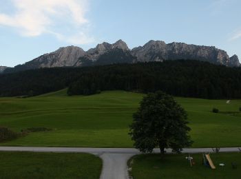
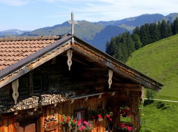
• Trail created by Kaiserwinkl.

Zu Fuß
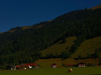
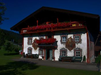
• Trail created by Kaiserwinkl.
Zu Fuß
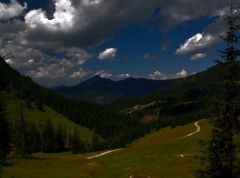
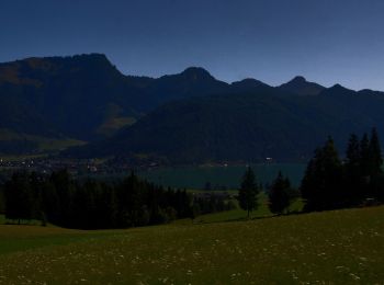
• Trail created by Kaiserwinkl.
Zu Fuß
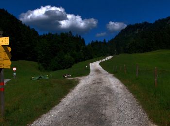
• Trail created by Kaiserwinkl.
Zu Fuß
• Trail created by Kaiserwinkl.
Zu Fuß
• Trail created by Kaiserwinkl.
Zu Fuß
Zu Fuß
Zu Fuß
Zu Fuß
Zu Fuß

Zu Fuß
Zu Fuß
14 Angezeigte Touren bei 14
Kostenlosegpshiking-Anwendung
 SityTrail
IGN / Geografische Institute
SityTrail World
Die Welt öffnet sich für Sie