


9,4 km | 10,8 km-effort
Gemeinde Pöttsching : Entdecken Sie die besten Touren : 5 zu Fuß. Alle diese Touren, Trails, Routen und Outdoor-Aktivitäten sind in unseren SityTrail-Apps für Smartphones und Tablets verfügbar.
Zu Fuß


• Trail created by Naturfreunde Mattersburg. insgesamt sehr schlecht markiert Symbol: rot-weiss-rot 921
Zu Fuß
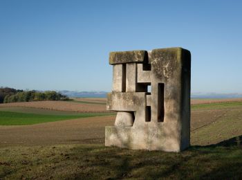
• Trail created by Tourismusverband Region Rosalia. Symbol: grünes Schild mit Pfeil
Zu Fuß
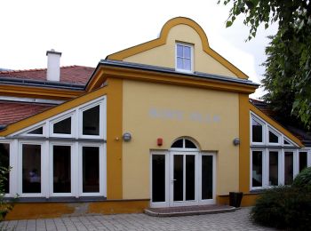
• Trail created by Gemeinde Pöttsching.
Zu Fuß
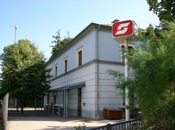
• Trail created by Gemeinde Pöttsching.

Zu Fuß
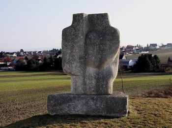
• Trail created by Naturfreunde Mattersburg. Symbol: rot-weiß-rot 920
5 Angezeigte Touren bei 5
Kostenlosegpshiking-Anwendung
 SityTrail
IGN / Geografische Institute
SityTrail World
Die Welt öffnet sich für Sie