![](/images/other/stat-length.png)
Sandl, Bezirk Freistadt: Die besten Touren, Trails, Trecks und Wanderungen
Sandl : Entdecken Sie die besten Touren : 2 zu Fuß. Alle diese Touren, Trails, Routen und Outdoor-Aktivitäten sind in unseren SityTrail-Apps für Smartphones und Tablets verfügbar.
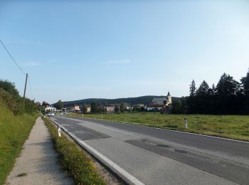
Die besten Spuren (2)
![Tour Zu Fuß Sandl - Feuerwehr Erlebnisweg - Photo](https://media.geolcdn.com/t/350/260/73c2063c-163b-4768-a96b-0910ea9d3381.jpeg&format=jpg&maxdim=2)
![Zu Fuß Zu Fuß](https://static1.geolcdn.com/sitytour/trail-icons/100.png)
Km
#1 - Feuerwehr Erlebnisweg
Zu Fuß
Einfach
Sandl,
Oberösterreich,
Bezirk Freistadt,
Austria
![](/images/other/stat-length.png)
3,3 km | 4,5 km-effort
1h 1min
![](https://static1.geolcdn.com/siteimages/upload/files/1508320355ic_sort_den_pos_24dp.png)
85 m
![](https://static1.geolcdn.com/siteimages/upload/files/1508320355ic_sort_den_neg_24dp.png)
123 m
![](https://static1.geolcdn.com/siteimages/upload/files/16400158638029165_repeat_loop_refresh_sync_direction_icon.png)
Nein
SityTrail - itinéraires balisés pédestres
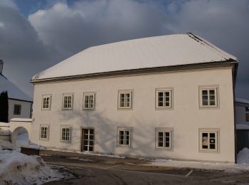
• Trail created by Tourismusverband Sandl. Symbol: http://www.feuerwehrerlebnisweg-sandl.at/images/Flori%20rechts%2020...
![Tour Zu Fuß Sandl - AT-S7 - Photo](https://media.geolcdn.com/t/350/260/fadfdd0e-5cd4-46bf-bff3-f5e0e0aab457.jpeg&format=jpg&maxdim=2)
![Zu Fuß Zu Fuß](https://static1.geolcdn.com/sitytour/trail-icons/100.png)
Km
#2 - AT-S7
Zu Fuß
Einfach
Sandl,
Oberösterreich,
Bezirk Freistadt,
Austria
![](/images/other/stat-length.png)
3,2 km | 4,4 km-effort
59min
![](https://static1.geolcdn.com/siteimages/upload/files/1508320355ic_sort_den_pos_24dp.png)
85 m
![](https://static1.geolcdn.com/siteimages/upload/files/1508320355ic_sort_den_neg_24dp.png)
101 m
![](https://static1.geolcdn.com/siteimages/upload/files/16400158638029165_repeat_loop_refresh_sync_direction_icon.png)
Nein
SityTrail - itinéraires balisés pédestres
• Symbol: rot-weiss-rot
2 Angezeigte Touren bei 2
Kostenlosegpshiking-Anwendung