


9,2 km | 13,1 km-effort
Bezirk Eferding : Entdecken Sie die besten Touren : 27 zu Fuß. Alle diese Touren, Trails, Routen und Outdoor-Aktivitäten sind in unseren SityTrail-Apps für Smartphones und Tablets verfügbar.
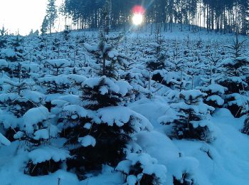
Zu Fuß


• Trail created by Naturpark Obst-Hügel-Land.
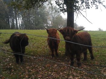
Zu Fuß
• Trail created by Naturpark Obst-Hügel-Land.
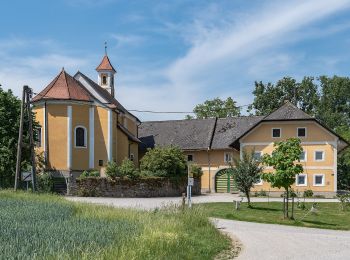
Zu Fuß
• Trail created by Naturpark Obst-Hügel-Land.
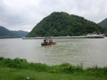
Zu Fuß
• Trail created by Naturpark Obst-Hügel-Land.
Zu Fuß
• Trail created by Naturpark Obst-Hügel-Land.
Zu Fuß
• Trail created by Naturpark Obst-Hügel-Land.
Zu Fuß
• Trail created by Naturpark Obst-Hügel-Land.
Zu Fuß
• Trail created by Naturpark Obst-Hügel-Land.
Zu Fuß
• Trail created by Naturpark Obst-Hügel-Land.
Zu Fuß
• Trail created by Naturpark Obst-Hügel-Land.
Zu Fuß
• Symbol: gelber Hinweispfeil mit schwarzem Text "A5 Kulturrunde"
Zu Fuß
• Symbol: none
Zu Fuß
• Symbol: none
Zu Fuß
• Symbol: none
Zu Fuß
• Symbol: none
Zu Fuß
• Symbol: rot und weiss waagerecht
Zu Fuß
• Symbol: gelber Hiweispfeil mit dem Text "Naturfeundeweg"
Zu Fuß
• Trail created by Naturpark Obst-Hügel-Land.
Zu Fuß
• Trail created by Naturpark Obst-Hügel-Land.
Zu Fuß
• Symbol: gelber Hinweispfeil mit dem Text "A1 Innbachrunde"
20 Angezeigte Touren bei 27
Kostenlosegpshiking-Anwendung
 SityTrail
IGN / Geografische Institute
SityTrail World
Die Welt öffnet sich für Sie