


10,6 km | 15,4 km-effort
Windhaag bei Perg : Entdecken Sie die besten Touren : 5 zu Fuß. Alle diese Touren, Trails, Routen und Outdoor-Aktivitäten sind in unseren SityTrail-Apps für Smartphones und Tablets verfügbar.

Zu Fuß


• Symbol: gelber Hinweispfeil mit dem Text "6 Falkensteiweg"
Zu Fuß
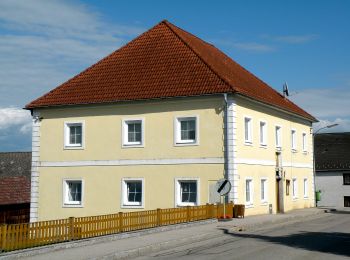
• Trail created by Gemeinde Windhaag bei Perg.
Zu Fuß
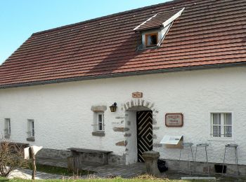
• Trail created by Gemeinde Windhaag bei Perg.
Zu Fuß
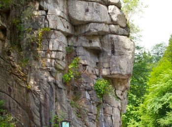
• Trail created by Gemeinde Windhaag bei Perg.
Zu Fuß
• Symbol: gelber Buchstabe N auf schwarzem Kreis auf gelbem Grund, daneben manchmal die Bezeichnung Naarntalweg
5 Angezeigte Touren bei 5
Kostenlosegpshiking-Anwendung
 SityTrail
IGN / Geografische Institute
SityTrail World
Die Welt öffnet sich für Sie