
Steiermark, Austria: Die besten Touren, Trails, Trecks und Wanderungen
Steiermark : Entdecken Sie die besten Touren : 783 zu Fuß und 3 mit dem Fahrrad oder Mountainbike. Alle diese Touren, Trails, Routen und Outdoor-Aktivitäten sind in unseren SityTrail-Apps für Smartphones und Tablets verfügbar.
Die besten Spuren (786)
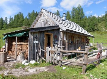
Km
Zu Fuß


• Trail created by Gemeinde Tauplitz. Symbol: rot weiß rot
Km
Zu Fuß


• Trail created by TV Steirische Rucksackdörfer. http://wiki.openstreetmap.org/wiki/WikiProject_Austria/Wanderwege Sy...

Km
Zu Fuß


• Symbol: rot-weiss-rot 42

Km
Zu Fuß


• Trail created by NF Bärnbach. http://wiki.openstreetmap.org/index.php?title=WikiProject_Austria/Wanderwege Symbol: ...

Km
Zu Fuß


• Trail created by Haus der Stille. Die Stationen sind mit Rolle „POI“ in der Relation, da sie auch räumliche Orientie...

Km
Zu Fuß


• Trail created by Haus der Stille. Die Stationen sind mit Rolle „POI“ in der Relation, da sie auch räumliche Orientie...

Km
Zu Fuß


• Trail created by Südsteiermark.com.

Km
Zu Fuß


• Trail created by Tourismus Sulmtal-Sausal.

Km
Zu Fuß


• Trail created by Tourismusverband "Die besten Lagen.Südsteiermark".

Km
Zu Fuß


• Trail created by ÖAV Graz. Symbol: rot-weiss-rot + schwarz R1

Km
Zu Fuß


• Trail created by ÖAV Graz. Symbol: rot-weiss-rot + schwarz 40

Km
Zu Fuß


• http://wiki.openstreetmap.org/wiki/WikiProject_Austria/Wanderwege Symbol: rot-weiss-rot 3
Km
Zu Fuß


• Trail created by 2-Thermenregion Bad Waltersdorf.
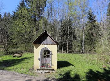
Km
Zu Fuß


• Trail created by TVK. Symbol: Schilder, grüner Punkt Website: https://www.kammern-liesingtal.at/marterlweg/
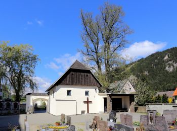
Km
Zu Fuß


• Trail created by TVK. Symbol: Schilder, roter Punkt

Km
Zu Fuß


• Trail created by schilcherland.at.

Km
Zu Fuß


• http://wiki.openstreetmap.org/wiki/WikiProject_Austria/Wanderwege Symbol: Schilder, rot-weiss Website: https://www...

Km
Zu Fuß


• Trail created by Tourismusverband Schilcherland.

Km
Zu Fuß


• Trail created by Tourismusverband Schilcherland.

Km
Zu Fuß


• Symbol: rot-weiß-rot 9
20 Angezeigte Touren bei 786
Kostenlosegpshiking-Anwendung


 SityTrail


