


5,8 km | 9,7 km-effort
Vars : Entdecken Sie die besten Touren : 8 ski laufen, 3 skiwanderen und 27 schneeschuhwandern. Alle diese Touren, Trails, Routen und Outdoor-Aktivitäten sind in unseren SityTrail-Apps für Smartphones und Tablets verfügbar.
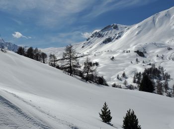
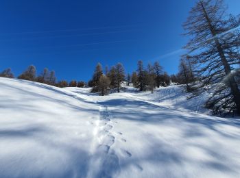
Schneeschuhwandern


Schneeschuhwandern
Schneeschuhwandern
Schneeschuhwandern
Schneeschuhwandern
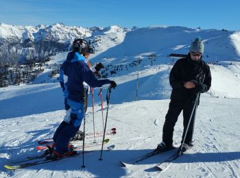
Ski laufen
Schneeschuhwandern
Schneeschuhwandern

Schneeschuhwandern
Schneeschuhwandern

Skiwanderen
Schneeschuhwandern
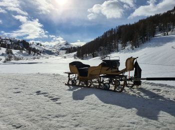
• Montée vers la crête de la Mayt par la forêt en limite de piste Vallons. Récupération piste piétons et traineaux pour...
Schneeschuhwandern
• 26/03/2017 ; il a neigé sur Paneyron ! 50 à 80 cm de poudre ... hélas les requins sont toujours présents à la descent...
Schneeschuhwandern
• Le 7/12/2014. Ski de rando, 1ère de la saison, peu de neige, départ à pied puis skis chaussés vers 2010m. Juste la s...
Schneeschuhwandern
• Le Plongeon : une descente de 400m dans la poudreuse dans un superbe vallon
Schneeschuhwandern
Schneeschuhwandern
• Tour au Col de Vars vers l’igloo puis la Chapelle Ste Marie-Madeleine, suivi d'une descente jusqu'au Refuge Napoléon?
Schneeschuhwandern
• Raquettes : le Paradis Blanc, du refuge Napoléon à Vars (Caribou) par la Cabane des Prises et le torrent de la Chagne.
Schneeschuhwandern
• Le Plongeon : une descente de 500m dans la poudreuse dans un superbe vallon
Schneeschuhwandern
20 Angezeigte Touren bei 38
 SityTrail