


3,2 km | 3,8 km-effort
Bezirk Altsohl : Entdecken Sie die besten Touren : 4 zu fuß. Alle diese Touren, Trails, Routen und Outdoor-Aktivitäten sind in unseren SityTrail-Apps für Smartphones und Tablets verfügbar.
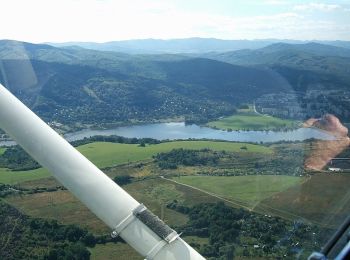
Zu Fuß


• Symbol: education
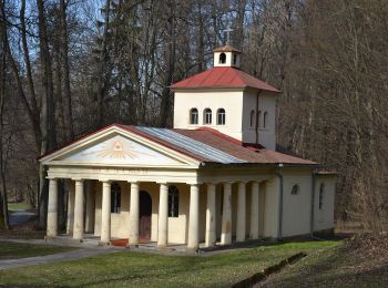
Zu Fuß
• Symbol: education
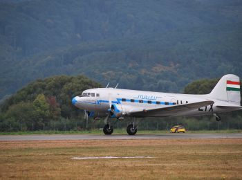
Zu Fuß
• Tour erstellt von KST. Symbol: local
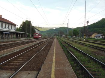
Zu Fuß
• Tour erstellt von Štátna ochrana prírody Slovenskej Republiky. Symbol: education
4 Angezeigte Touren bei 4
Kostenlosegpshiking-Anwendung
 SityTrail
IGN / Geografische Institute
SityTrail World
Die Welt öffnet sich für Sie