


3,2 km | 4 km-effort
Provinz Halland : Entdecken Sie die besten Touren : 32 zu fuß und 2 wandern. Alle diese Touren, Trails, Routen und Outdoor-Aktivitäten sind in unseren SityTrail-Apps für Smartphones und Tablets verfügbar.
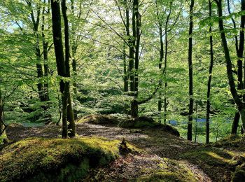
Zu Fuß


• Trail created by Länsstyrelsen Hallands län.
Zu Fuß
• Trail created by Riksförbundet HjärtLung.
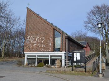
Zu Fuß
• Website: https://www.halmstad.se/upplevagora/friluftslivochnatur/promenadstigarochvandringsleder.1297.html
Zu Fuß
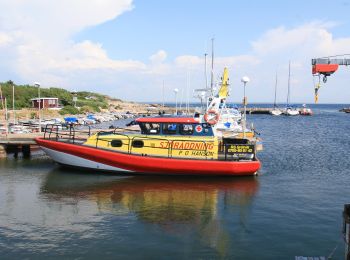
• Symbol: yellow
Zu Fuß
Zu Fuß
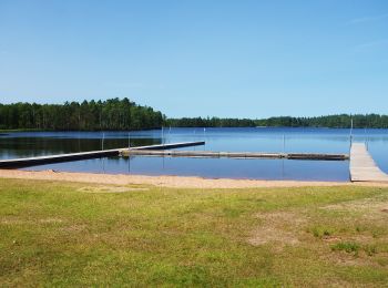
• null Website: https://www.hembygd.se/oskarstroms-hembygdsforening/page/4430
Zu Fuß

Zu Fuß
• Trail created by Länsstyrelsen Hallands län.
Zu Fuß
• Trail created by IF Rigor.
Zu Fuß
Zu Fuß
Zu Fuß
Zu Fuß
• Trail created by Åkulla bokskogar.
Zu Fuß
Zu Fuß
Zu Fuß

Wandern
Zu Fuß
Zu Fuß
20 Angezeigte Touren bei 34
Kostenlosegpshiking-Anwendung
 SityTrail
IGN / Geografische Institute
SityTrail World
Die Welt öffnet sich für Sie