


5,8 km | 9,6 km-effort
Soajo : Entdecken Sie die besten Touren : 6 zu fuß und 2 wandern. Alle diese Touren, Trails, Routen und Outdoor-Aktivitäten sind in unseren SityTrail-Apps für Smartphones und Tablets verfügbar.
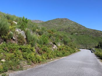
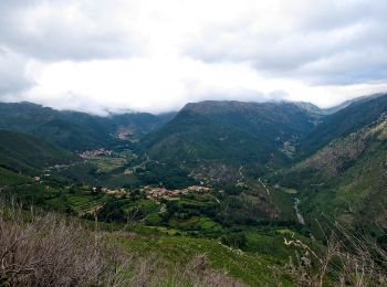
Zu Fuß


• Trail created by Câmara Municipal de Arcos de Valdevez.
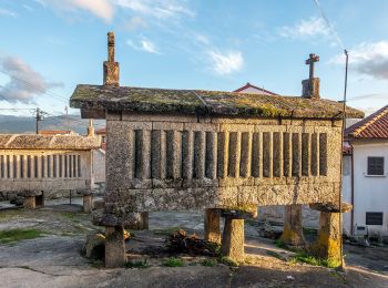
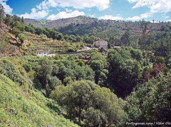
Zu Fuß
• Trail created by Camara Municipal de Arcos de Valdevez.
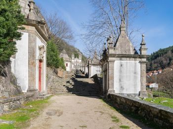
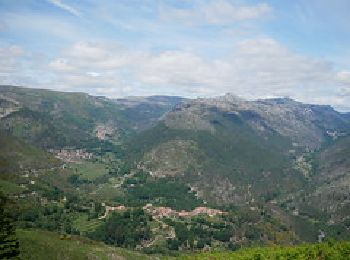
Zu Fuß
• Trail created by Camara Municipal dos Arcos de Valdevez.
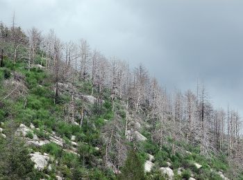
Zu Fuß
• Trail created by Camara Municipal de Arcos de Valdevez. Symbol: Yellow over Red
Zu Fuß
• Trail created by Município de Arcos de Valdevez.
Zu Fuß
• Trail created by Camara Municipal dos Arcos de Valdevez.
Wandern

Wandern
8 Angezeigte Touren bei 8
Kostenlosegpshiking-Anwendung
 SityTrail
IGN / Geografische Institute
SityTrail World
Die Welt öffnet sich für Sie