


6,4 km | 11,5 km-effort
Zobten am Berge : Entdecken Sie die besten Touren : 4 zu fuß. Alle diese Touren, Trails, Routen und Outdoor-Aktivitäten sind in unseren SityTrail-Apps für Smartphones und Tablets verfügbar.
Zu Fuß


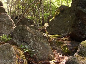
• Symbol: czarny miś na białym tle
Zu Fuß
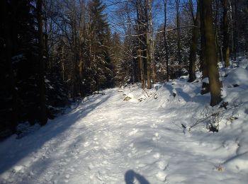
• Symbol: green
Zu Fuß
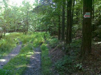
• Symbol: blue
Zu Fuß
4 Angezeigte Touren bei 4
Kostenlosegpshiking-Anwendung
 SityTrail
IGN / Geografische Institute
SityTrail World
Die Welt öffnet sich für Sie