


19 km | 31 km-effort
New Zealand : Entdecken Sie die 149 besten Wander- und Radtouren. Unser Katalog, der komplett von Wanderern und Tourenradlern kuratiert wurde, ist voll von wunderschönen Landschaften, die nur darauf warten, erkundet zu werden. Downloaden Sie diese Routen in SityTrail, unserer kostenlosen gps-Wander-App, die für Android und iOS verfügbar ist.
Zu Fuß


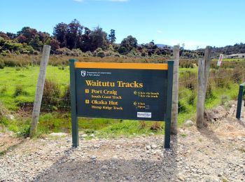
• Website: https://en.wikipedia.org/wiki/Hump_Ridge_Track

Zu Fuß
• Website: https://en.wikipedia.org/wiki/Hump_Ridge_Track
Zu Fuß
• Website: https://en.wikipedia.org/wiki/Hump_Ridge_Track

Zu Fuß
• Tour erstellt von Department of Conservation.

Zu Fuß
• Enjoy magnificent views over Banks Peninsula, the Canterbury plains, Southern Alps and Pacific Ocean on this track, w...
Zu Fuß
• Tour erstellt von Hutt City.
Zu Fuß
• "official" distance does not include ferry crossing of about 4 km from Devonport to CBD
Zu Fuß
• Website: https://www.teararoa.org.nz/northland/
Zu Fuß
• Tour erstellt von Wellington City Council. Website: https://wellington.govt.nz/recreation/enjoy-the-outdoors/walks...
Zu Fuß
• Tour erstellt von Wellington City Council.
Zu Fuß
• Tour erstellt von Porirua City Council.
Zu Fuß
• Climb to a lookout for spectacular views, or continue to the summit of Mount Te Kinga. Website: https://www.doc.govt...
Zu Fuß
• Tour erstellt von Porirua City Council. Website: https://poriruacity.govt.nz/discover-porirua/walking-biking/walk/...
Zu Fuß
• Tour erstellt von Bay of Islands Walkways Trust.
Zu Fuß
• Tour erstellt von Department of Conservation.
Zu Fuß
• Website: http://tracks.org.nz/track/show/1358
Zu Fuß
• Tour erstellt von Department of Conservation.

Zu Fuß
• Tour erstellt von Wellington City Council from Wellington Station to Ngauranga and NZTA on to Johnsonville as part of...

Zu Fuß
• Tour erstellt von Nelson City Council.

Zu Fuß
• Tour erstellt von Department of Conservation.
20 Angezeigte Touren bei 149
Kostenlosegpshiking-Anwendung
 SityTrail
IGN / Geografische Institute
SityTrail World
Die Welt öffnet sich für Sie