![](/images/other/stat-length.png)
- Touren
- Zu Fuß
- Netherlands
- Overijssel
- Unbekannt
- Olst-Wijhe
Olst-Wijhe, Unbekannt, Zu Fuß: Die besten Touren, Trails, Trecks und Wanderungen
Olst-Wijhe : Entdecken Sie die besten Touren : 32 zu fuß und 3 wandern. Alle diese Touren, Trails, Routen und Outdoor-Aktivitäten sind in unseren SityTrail-Apps für Smartphones und Tablets verfügbar.
Die besten Spuren (35)
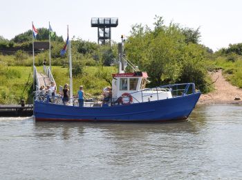
![Tour Zu Fuß Olst-Wijhe - WNW Salland - Fortmond - blauwe route - Photo](https://media.geolcdn.com/t/350/260/e1117815-0736-442f-aaa2-1219d6483cdc.jpeg&format=jpg&maxdim=2)
![Zu Fuß Zu Fuß](https://static1.geolcdn.com/sitytour/trail-icons/100.png)
Km
Zu Fuß
![](/images/other/stat-length.png)
![](https://static1.geolcdn.com/siteimages/upload/files/1508320355ic_sort_den_pos_24dp.png)
![](https://static1.geolcdn.com/siteimages/upload/files/1508320355ic_sort_den_neg_24dp.png)
![](https://static1.geolcdn.com/siteimages/upload/files/16400158638029165_repeat_loop_refresh_sync_direction_icon.png)
• Trail created by Recreatiegemeenschap Salland.
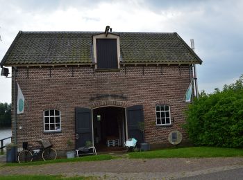
![Tour Zu Fuß Olst-Wijhe - WNW Salland - Fortmond/Infocentrum Den Nul - groene route - Photo](https://media.geolcdn.com/t/350/260/bad58995-e4d2-462d-9b86-50702dcfe9e6.jpeg&format=jpg&maxdim=2)
![Zu Fuß Zu Fuß](https://static1.geolcdn.com/sitytour/trail-icons/100.png)
Km
Zu Fuß
![](/images/other/stat-length.png)
![](https://static1.geolcdn.com/siteimages/upload/files/1508320355ic_sort_den_pos_24dp.png)
![](https://static1.geolcdn.com/siteimages/upload/files/1508320355ic_sort_den_neg_24dp.png)
![](https://static1.geolcdn.com/siteimages/upload/files/16400158638029165_repeat_loop_refresh_sync_direction_icon.png)
• Trail created by Recreatiegemeenschap Salland.
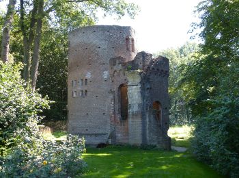
![Tour Zu Fuß Olst-Wijhe - WNW Salland - De Haere/Nijendal - paarse route - Photo](https://media.geolcdn.com/t/350/260/dev_bf95a214-8c75-4cd5-bf0a-7efbd1747ac5.jpeg&format=jpg&maxdim=2)
![Zu Fuß Zu Fuß](https://static1.geolcdn.com/sitytour/trail-icons/100.png)
Km
Zu Fuß
![](/images/other/stat-length.png)
![](https://static1.geolcdn.com/siteimages/upload/files/1508320355ic_sort_den_pos_24dp.png)
![](https://static1.geolcdn.com/siteimages/upload/files/1508320355ic_sort_den_neg_24dp.png)
![](https://static1.geolcdn.com/siteimages/upload/files/16400158638029165_repeat_loop_refresh_sync_direction_icon.png)
• Trail created by Recreatiegemeenschap Salland.
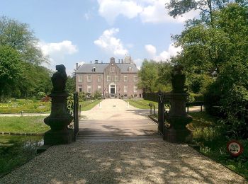
![Tour Zu Fuß Olst-Wijhe - WNW Salland - Boskamp - gele route - Photo](https://media.geolcdn.com/t/350/260/eac7a7f5-6777-45a6-ad90-190268d8d446.jpeg&format=jpg&maxdim=2)
![Zu Fuß Zu Fuß](https://static1.geolcdn.com/sitytour/trail-icons/100.png)
Km
Zu Fuß
![](/images/other/stat-length.png)
![](https://static1.geolcdn.com/siteimages/upload/files/1508320355ic_sort_den_pos_24dp.png)
![](https://static1.geolcdn.com/siteimages/upload/files/1508320355ic_sort_den_neg_24dp.png)
![](https://static1.geolcdn.com/siteimages/upload/files/16400158638029165_repeat_loop_refresh_sync_direction_icon.png)
• Trail created by Recreatiegemeenschap Salland.
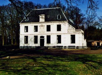
![Tour Zu Fuß Olst-Wijhe - WNW Salland - Boskamp - blauwe route - Photo](https://media.geolcdn.com/t/350/260/f0a14f38-5c9a-4102-8966-e4af07b899a9.jpeg&format=jpg&maxdim=2)
![Zu Fuß Zu Fuß](https://static1.geolcdn.com/sitytour/trail-icons/100.png)
Km
Zu Fuß
![](/images/other/stat-length.png)
![](https://static1.geolcdn.com/siteimages/upload/files/1508320355ic_sort_den_pos_24dp.png)
![](https://static1.geolcdn.com/siteimages/upload/files/1508320355ic_sort_den_neg_24dp.png)
![](https://static1.geolcdn.com/siteimages/upload/files/16400158638029165_repeat_loop_refresh_sync_direction_icon.png)
• Trail created by Recreatiegemeenschap Salland.
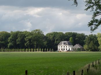
![Tour Zu Fuß Olst-Wijhe - WNW Salland - Boskamp - rode route - Photo](https://media.geolcdn.com/t/350/260/44300edf-f436-4bfb-9652-1e8ed338a957.jpeg&format=jpg&maxdim=2)
![Zu Fuß Zu Fuß](https://static1.geolcdn.com/sitytour/trail-icons/100.png)
Km
Zu Fuß
![](/images/other/stat-length.png)
![](https://static1.geolcdn.com/siteimages/upload/files/1508320355ic_sort_den_pos_24dp.png)
![](https://static1.geolcdn.com/siteimages/upload/files/1508320355ic_sort_den_neg_24dp.png)
![](https://static1.geolcdn.com/siteimages/upload/files/16400158638029165_repeat_loop_refresh_sync_direction_icon.png)
• Trail created by Recreatiegemeenschap Salland.
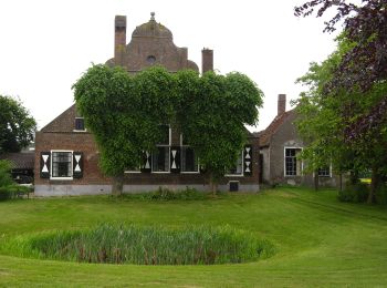
![Tour Zu Fuß Olst-Wijhe - WNW Salland - Olst/Infocentrum Den Nul - paarse route - Photo](https://media.geolcdn.com/t/350/260/1187ef9e-ee47-45ff-9fff-ed0e2dd40ac8.jpeg&format=jpg&maxdim=2)
![Zu Fuß Zu Fuß](https://static1.geolcdn.com/sitytour/trail-icons/100.png)
Km
Zu Fuß
![](/images/other/stat-length.png)
![](https://static1.geolcdn.com/siteimages/upload/files/1508320355ic_sort_den_pos_24dp.png)
![](https://static1.geolcdn.com/siteimages/upload/files/1508320355ic_sort_den_neg_24dp.png)
![](https://static1.geolcdn.com/siteimages/upload/files/16400158638029165_repeat_loop_refresh_sync_direction_icon.png)
• Trail created by Recreatiegemeenschap Salland.
![Tour Zu Fuß Olst-Wijhe - Sallandse Zandloper - route Fortmond - Photo](https://media.geolcdn.com/t/350/260/1187ef9e-ee47-45ff-9fff-ed0e2dd40ac8.jpeg&format=jpg&maxdim=2)
![Zu Fuß Zu Fuß](https://static1.geolcdn.com/sitytour/trail-icons/100.png)
Km
Zu Fuß
![](/images/other/stat-length.png)
![](https://static1.geolcdn.com/siteimages/upload/files/1508320355ic_sort_den_pos_24dp.png)
![](https://static1.geolcdn.com/siteimages/upload/files/1508320355ic_sort_den_neg_24dp.png)
![](https://static1.geolcdn.com/siteimages/upload/files/16400158638029165_repeat_loop_refresh_sync_direction_icon.png)
• Trail created by Recreatiegemeenschap Salland.
![Tour Zu Fuß Olst-Wijhe - Sallandse Zandloper - route Olst - Photo](https://media.geolcdn.com/t/350/260/88eef855-f995-4a43-ab86-8825bc590ac4.jpeg&format=jpg&maxdim=2)
![Zu Fuß Zu Fuß](https://static1.geolcdn.com/sitytour/trail-icons/100.png)
Km
Zu Fuß
![](/images/other/stat-length.png)
![](https://static1.geolcdn.com/siteimages/upload/files/1508320355ic_sort_den_pos_24dp.png)
![](https://static1.geolcdn.com/siteimages/upload/files/1508320355ic_sort_den_neg_24dp.png)
![](https://static1.geolcdn.com/siteimages/upload/files/16400158638029165_repeat_loop_refresh_sync_direction_icon.png)
• Trail created by Recreatiegemeenschap Salland.
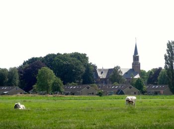
![Tour Zu Fuß Olst-Wijhe - WNW Salland - Boskamp/Olst - groene route - Photo](https://media.geolcdn.com/t/350/260/365fac69-7009-4067-940f-cf5b8e8b08f8.jpeg&format=jpg&maxdim=2)
![Zu Fuß Zu Fuß](https://static1.geolcdn.com/sitytour/trail-icons/100.png)
Km
Zu Fuß
![](/images/other/stat-length.png)
![](https://static1.geolcdn.com/siteimages/upload/files/1508320355ic_sort_den_pos_24dp.png)
![](https://static1.geolcdn.com/siteimages/upload/files/1508320355ic_sort_den_neg_24dp.png)
![](https://static1.geolcdn.com/siteimages/upload/files/16400158638029165_repeat_loop_refresh_sync_direction_icon.png)
• Trail created by Recreatiegemeenschap Salland.
![Tour Zu Fuß Olst-Wijhe - WNW Salland - Eikelhof/Middel - groene route - Photo](https://media.geolcdn.com/t/350/260/1187ef9e-ee47-45ff-9fff-ed0e2dd40ac8.jpeg&format=jpg&maxdim=2)
![Zu Fuß Zu Fuß](https://static1.geolcdn.com/sitytour/trail-icons/100.png)
Km
Zu Fuß
![](/images/other/stat-length.png)
![](https://static1.geolcdn.com/siteimages/upload/files/1508320355ic_sort_den_pos_24dp.png)
![](https://static1.geolcdn.com/siteimages/upload/files/1508320355ic_sort_den_neg_24dp.png)
![](https://static1.geolcdn.com/siteimages/upload/files/16400158638029165_repeat_loop_refresh_sync_direction_icon.png)
• Trail created by Recreatiegemeenschap Salland.
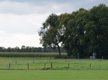
![Tour Zu Fuß Olst-Wijhe - WNW Salland - Wesepe - rode route - Photo](https://media.geolcdn.com/t/350/260/3da17742-83c2-4ac6-90ff-7d13a4e0539e.jpeg&format=jpg&maxdim=2)
![Zu Fuß Zu Fuß](https://static1.geolcdn.com/sitytour/trail-icons/100.png)
Km
Zu Fuß
![](/images/other/stat-length.png)
![](https://static1.geolcdn.com/siteimages/upload/files/1508320355ic_sort_den_pos_24dp.png)
![](https://static1.geolcdn.com/siteimages/upload/files/1508320355ic_sort_den_neg_24dp.png)
![](https://static1.geolcdn.com/siteimages/upload/files/16400158638029165_repeat_loop_refresh_sync_direction_icon.png)
• Trail created by Recreatiegemeenschap Salland.
![Tour Zu Fuß Olst-Wijhe - WNW Salland -Wesepe - paarse route - Photo](https://media.geolcdn.com/t/350/260/3da17742-83c2-4ac6-90ff-7d13a4e0539e.jpeg&format=jpg&maxdim=2)
![Zu Fuß Zu Fuß](https://static1.geolcdn.com/sitytour/trail-icons/100.png)
Km
Zu Fuß
![](/images/other/stat-length.png)
![](https://static1.geolcdn.com/siteimages/upload/files/1508320355ic_sort_den_pos_24dp.png)
![](https://static1.geolcdn.com/siteimages/upload/files/1508320355ic_sort_den_neg_24dp.png)
![](https://static1.geolcdn.com/siteimages/upload/files/16400158638029165_repeat_loop_refresh_sync_direction_icon.png)
• Trail created by Recreatiegemeenschap Salland.
![Tour Zu Fuß Olst-Wijhe - WNW Salland -Wesepe - groene route - Photo](https://media.geolcdn.com/t/350/260/3da17742-83c2-4ac6-90ff-7d13a4e0539e.jpeg&format=jpg&maxdim=2)
![Zu Fuß Zu Fuß](https://static1.geolcdn.com/sitytour/trail-icons/100.png)
Km
Zu Fuß
![](/images/other/stat-length.png)
![](https://static1.geolcdn.com/siteimages/upload/files/1508320355ic_sort_den_pos_24dp.png)
![](https://static1.geolcdn.com/siteimages/upload/files/1508320355ic_sort_den_neg_24dp.png)
![](https://static1.geolcdn.com/siteimages/upload/files/16400158638029165_repeat_loop_refresh_sync_direction_icon.png)
• Trail created by Recreatiegemeenschap Salland.
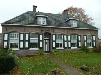
![Tour Zu Fuß Olst-Wijhe - WNW Salland -Wesepe - gele route - Photo](https://media.geolcdn.com/t/350/260/9f25c8c6-c7ff-499f-ac08-ae4c41a827f2.jpeg&format=jpg&maxdim=2)
![Zu Fuß Zu Fuß](https://static1.geolcdn.com/sitytour/trail-icons/100.png)
Km
Zu Fuß
![](/images/other/stat-length.png)
![](https://static1.geolcdn.com/siteimages/upload/files/1508320355ic_sort_den_pos_24dp.png)
![](https://static1.geolcdn.com/siteimages/upload/files/1508320355ic_sort_den_neg_24dp.png)
![](https://static1.geolcdn.com/siteimages/upload/files/16400158638029165_repeat_loop_refresh_sync_direction_icon.png)
• Trail created by Recreatiegemeenschap Salland.
![Tour Zu Fuß Olst-Wijhe - WNW Salland -Wesepe - blauwe route - Photo](https://media.geolcdn.com/t/350/260/9f25c8c6-c7ff-499f-ac08-ae4c41a827f2.jpeg&format=jpg&maxdim=2)
![Zu Fuß Zu Fuß](https://static1.geolcdn.com/sitytour/trail-icons/100.png)
Km
Zu Fuß
![](/images/other/stat-length.png)
![](https://static1.geolcdn.com/siteimages/upload/files/1508320355ic_sort_den_pos_24dp.png)
![](https://static1.geolcdn.com/siteimages/upload/files/1508320355ic_sort_den_neg_24dp.png)
![](https://static1.geolcdn.com/siteimages/upload/files/16400158638029165_repeat_loop_refresh_sync_direction_icon.png)
• Trail created by Recreatiegemeenschap Salland.
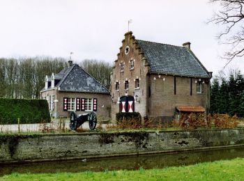
![Tour Zu Fuß Olst-Wijhe - WNW Salland - Boerhaar - paarse route - Photo](https://media.geolcdn.com/t/350/260/9c408983-d465-4aa5-a9e9-d8d3ea26431f.jpeg&format=jpg&maxdim=2)
![Zu Fuß Zu Fuß](https://static1.geolcdn.com/sitytour/trail-icons/100.png)
Km
Zu Fuß
![](/images/other/stat-length.png)
![](https://static1.geolcdn.com/siteimages/upload/files/1508320355ic_sort_den_pos_24dp.png)
![](https://static1.geolcdn.com/siteimages/upload/files/1508320355ic_sort_den_neg_24dp.png)
![](https://static1.geolcdn.com/siteimages/upload/files/16400158638029165_repeat_loop_refresh_sync_direction_icon.png)
• Trail created by Recreatiegemeenschap Salland.
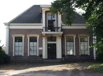
![Tour Zu Fuß Olst-Wijhe - WNW Salland - Wijhe - blauwe route - Photo](https://media.geolcdn.com/t/350/260/2c0c32d7-63ce-4517-82e7-9d761fb192cb.jpeg&format=jpg&maxdim=2)
![Zu Fuß Zu Fuß](https://static1.geolcdn.com/sitytour/trail-icons/100.png)
Km
Zu Fuß
![](/images/other/stat-length.png)
![](https://static1.geolcdn.com/siteimages/upload/files/1508320355ic_sort_den_pos_24dp.png)
![](https://static1.geolcdn.com/siteimages/upload/files/1508320355ic_sort_den_neg_24dp.png)
![](https://static1.geolcdn.com/siteimages/upload/files/16400158638029165_repeat_loop_refresh_sync_direction_icon.png)
• Trail created by Recreatiegemeenschap Salland.
![Tour Zu Fuß Olst-Wijhe - WNW Salland - Wijhe - rode route - Photo](https://media.geolcdn.com/t/350/260/2c0c32d7-63ce-4517-82e7-9d761fb192cb.jpeg&format=jpg&maxdim=2)
![Zu Fuß Zu Fuß](https://static1.geolcdn.com/sitytour/trail-icons/100.png)
Km
Zu Fuß
![](/images/other/stat-length.png)
![](https://static1.geolcdn.com/siteimages/upload/files/1508320355ic_sort_den_pos_24dp.png)
![](https://static1.geolcdn.com/siteimages/upload/files/1508320355ic_sort_den_neg_24dp.png)
![](https://static1.geolcdn.com/siteimages/upload/files/16400158638029165_repeat_loop_refresh_sync_direction_icon.png)
• Trail created by Recreatiegemeenschap Salland.
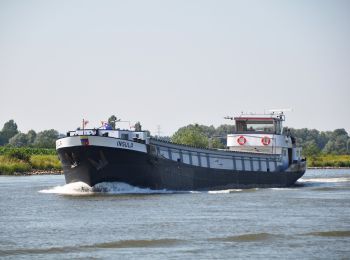
![Tour Zu Fuß Olst-Wijhe - WNW Salland - Herxen/Windesheim - gele route - Photo](https://media.geolcdn.com/t/350/260/013811a5-57e3-4089-a1a1-65a85c183e8e.jpeg&format=jpg&maxdim=2)
![Zu Fuß Zu Fuß](https://static1.geolcdn.com/sitytour/trail-icons/100.png)
Km
Zu Fuß
![](/images/other/stat-length.png)
![](https://static1.geolcdn.com/siteimages/upload/files/1508320355ic_sort_den_pos_24dp.png)
![](https://static1.geolcdn.com/siteimages/upload/files/1508320355ic_sort_den_neg_24dp.png)
![](https://static1.geolcdn.com/siteimages/upload/files/16400158638029165_repeat_loop_refresh_sync_direction_icon.png)
• Trail created by Recreatiegemeenschap Salland.
20 Angezeigte Touren bei 35
Kostenlosegpshiking-Anwendung