


12,5 km | 13,2 km-effort
Overijssel : Entdecken Sie die besten Touren : 673 zu fuß, 115 wandern und 1 laufen. Alle diese Touren, Trails, Routen und Outdoor-Aktivitäten sind in unseren SityTrail-Apps für Smartphones und Tablets verfügbar.

Wandern


•
Zu Fuß
• Trail created by Recreatiegemeenschap Salland.
Zu Fuß
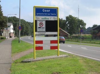
• Trail created by Routenetwerken Twente.
Zu Fuß
• Trail created by Routenetwerken Twente.
Zu Fuß
• Trail created by Routenetwerken Twente.
Zu Fuß
• Trail created by Recreatiegemeenschap Salland.
Zu Fuß
• Trail created by Recreatiegemeenschap Salland.
Zu Fuß
• Trail created by Recreatiegemeenschap Salland.
Zu Fuß
• Trail created by Recreatiegemeenschap Salland.
Zu Fuß
• Trail created by Recreatiegemeenschap Salland.
Zu Fuß
• Trail created by Recreatiegemeenschap Salland.
Zu Fuß
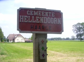
• Trail created by S.C.H.E.R.M.. Symbol: paarse pijl met inscriptie KnTs
Zu Fuß
• Trail created by Staatsbosbeheer. Symbol: dwarf
Zu Fuß
• Trail created by Routenetwerken Twente.
Zu Fuß
• Trail created by Routenetwerken Twente.
Zu Fuß
• Trail created by Routenetwerken Twente.
Zu Fuß
• Trail created by Recreatiegemeenschap Salland.
Zu Fuß
• Trail created by Recreatiegemeenschap Salland.
Zu Fuß
• Trail created by Recreatiegemeenschap Salland.
Zu Fuß
• Trail created by Recreatiegemeenschap Salland.
20 Angezeigte Touren bei 788
Kostenlosegpshiking-Anwendung
 SityTrail
IGN / Geografische Institute
SityTrail World
Die Welt öffnet sich für Sie