


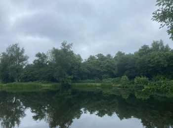
4,1 km | 4,6 km-effort
Drente : Entdecken Sie die besten Touren : 22 zu fuß, 97 wandern und 1 laufen. Alle diese Touren, Trails, Routen und Outdoor-Aktivitäten sind in unseren SityTrail-Apps für Smartphones und Tablets verfügbar.
Zu Fuß


• Symbol: Green poles
Zu Fuß
• Trail created by Het Drentse Landschap. Symbol: Purple poles
Zu Fuß
• Trail created by VVV. Symbol: Red poles
Zu Fuß
• Trail created by Staatsbosbeheer. Symbol: Hiker on a yellow square
Zu Fuß
• Symbol: Hiker on a white square
Zu Fuß
• Trail created by Het Drentse Landschap. Symbol: Purple bollards
Zu Fuß
• Symbol: Hiker on a blue square
Zu Fuß
• Trail created by Hartstichting.

Zu Fuß
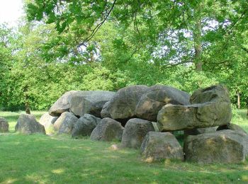
• de Wheem

Wandern
• More information on GPStracks.nl : http://www.gpstracks.nl
Zu Fuß
• Symbol: Red poles
Zu Fuß
Zu Fuß

Zu Fuß

Zu Fuß
Zu Fuß
Zu Fuß
Zu Fuß
Zu Fuß

Zu Fuß
20 Angezeigte Touren bei 120
Kostenlosegpshiking-Anwendung
 SityTrail
IGN / Geografische Institute
SityTrail World
Die Welt öffnet sich für Sie