


119 km | 131 km-effort
cercle de Zagora : Entdecken Sie die besten Touren : 7 wandern und 1 pfad. Alle diese Touren, Trails, Routen und Outdoor-Aktivitäten sind in unseren SityTrail-Apps für Smartphones und Tablets verfügbar.
Wandern


Wandern

Pfad
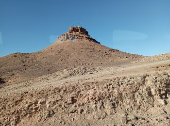
Wandern

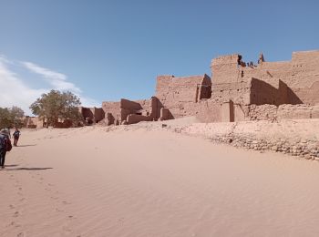
Wandern
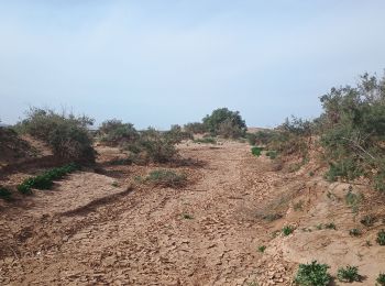
Wandern

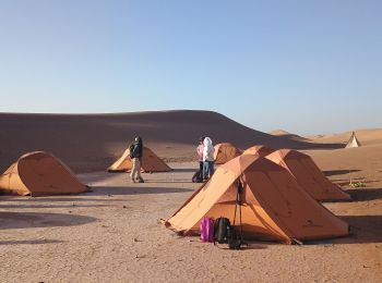
Wandern

Wandern
8 Angezeigte Touren bei 8
Kostenlosegpshiking-Anwendung
 SityTrail
IGN / Geografische Institute
SityTrail World
Die Welt öffnet sich für Sie