


30 km | 37 km-effort
Canton Grevenmacher : Entdecken Sie die besten Touren : 15 zu fuß, 18 wandern und 1 nordic walking. Alle diese Touren, Trails, Routen und Outdoor-Aktivitäten sind in unseren SityTrail-Apps für Smartphones und Tablets verfügbar.
Wandern


Zu Fuß
• Symbol: stilisiertes weißes S und H auf lila Grund
Zu Fuß
Zu Fuß
Zu Fuß
Zu Fuß

Zu Fuß
Zu Fuß
Zu Fuß
Zu Fuß
Zu Fuß

Zu Fuß
Zu Fuß
Zu Fuß
Nordic Walking
Zu Fuß

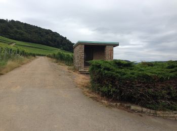
Wandern
• Schlammwiss
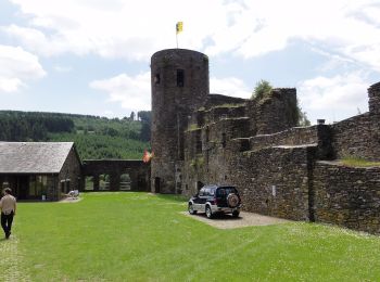
Wandern
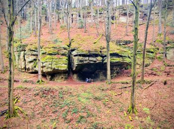
• Manternacher Fiels
Wandern
• Kelsbaach

Zu Fuß
20 Angezeigte Touren bei 34
Kostenlosegpshiking-Anwendung
 SityTrail
IGN / Geografische Institute
SityTrail World
Die Welt öffnet sich für Sie