


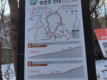
7,8 km | 14,5 km-effort
Korea, Republic of : Entdecken Sie die 32 besten Wander- und Radtouren. Unser Katalog, der komplett von Wanderern und Tourenradlern kuratiert wurde, ist voll von wunderschönen Landschaften, die nur darauf warten, erkundet zu werden. Downloaden Sie diese Routen in SityTrail, unserer kostenlosen gps-Wander-App, die für Android und iOS verfügbar ist.
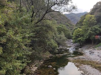
Wandern


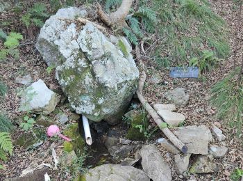
Wandern
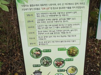
Wandern
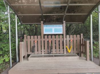
Wandern
Wandern
Wandern
Wandern
Wandern
Wandern
Wandern

Wandern
Wandern
Wandern
Wandern
Wandern
Wandern
Wandern
Wandern
Wandern
Wandern
20 Angezeigte Touren bei 32
Kostenlosegpshiking-Anwendung
 SityTrail
IGN / Geografische Institute
SityTrail World
Die Welt öffnet sich für Sie