


8,9 km | 11,6 km-effort
Alghero : Entdecken Sie die besten Touren : 4 zu fuß, 5 wandern und 1 laufen. Alle diese Touren, Trails, Routen und Outdoor-Aktivitäten sind in unseren SityTrail-Apps für Smartphones und Tablets verfügbar.
Zu Fuß


• Trail created by Comune di Sassari. Symbol: 003 on white red flag
Zu Fuß
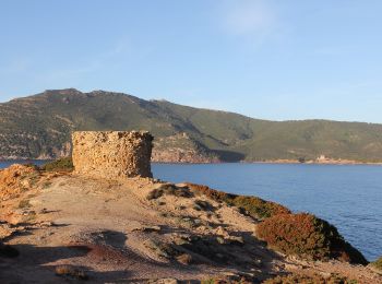
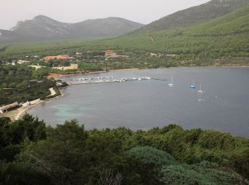
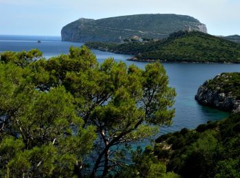
• Sito ufficiale del Parco Naturale di Porto Conte e Area Marina Protetta Capo Caccia - isola Piana. Natura e Territori...
Zu Fuß
• Sito ufficiale del Parco Naturale di Porto Conte e Area Marina Protetta Capo Caccia - isola Piana. Natura e Territori...

Wandern
Zu Fuß
Wandern

Laufen
Wandern
Wandern
Wandern
10 Angezeigte Touren bei 10
Kostenlosegpshiking-Anwendung
 SityTrail
IGN / Geografische Institute
SityTrail World
Die Welt öffnet sich für Sie