Lecco, Lecco, Zu Fuß: Die besten Touren, Trails, Trecks und Wanderungen

Lecco : Entdecken Sie die besten Touren : 8 zu fuß. Alle diese Touren, Trails, Routen und Outdoor-Aktivitäten sind in unseren SityTrail-Apps für Smartphones und Tablets verfügbar.


Die besten Spuren (8)
Tour Zu Fuß Lecco - Sentiero 2 della Val Calolden - Photo
Zu Fuß 3.246
Km
GUIDE+

Zu Fuß

Einfach
Lecco, Lombardei, Lecco, Italy
3,2 km | 11,2 km-effort
2h 32min
793 m
0 m
Nein
SityTrail - itinéraires balisés pédestres

• Trail created by S.E.L.. Symbol: red-white-yellow bars with the black text "2" on the white bar
Tour Zu Fuß Lecco - Percorso Giorgio Combi - Photo
Zu Fuß 5.374
Km
GUIDE+

Zu Fuß

Einfach
Lecco, Lombardei, Lecco, Italy
5,4 km | 9,4 km-effort
2h 7min
321 m
235 m
Nein
SityTrail - itinéraires balisés pédestres

• Trail created by APE Lecco. Symbol: yellow markers and yellow metal plates with text "PERCORSO GIORGIO COMBI"
Tour Zu Fuß Lecco - Sentiero 18 (della Corna Cammello): Versasio - Piani d'Erna - Photo
Zu Fuß 3.111
Km
GUIDE+

Zu Fuß

Einfach
Lecco, Lombardei, Lecco, Italy
3,1 km | 9,8 km-effort
2h 13min
670 m
4 m
Nein
SityTrail - itinéraires balisés pédestres

• Trail created by S.E.L.. Symbol: red-white-yellow vertical bars with the black text "18"; sometimes a red square wit...
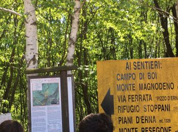
Tour Zu Fuß Lecco - Sentiero Rotary Lecco - Photo
Zu Fuß 9.248
Km
GUIDE+

Zu Fuß

Einfach
Lecco, Lombardei, Lecco, Italy
9,2 km | 14 km-effort
3h 11min
286 m
580 m
Nein
SityTrail - itinéraires balisés pédestres

• Trail created by Rotary Lecco. Symbol: cogwheel with text "ROTARY INTERNATIONAL", trail paint blaze red-white stripes
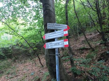
Tour Zu Fuß Lecco - Sentiero 1: Malnago - Rifugio Azzoni - Photo
Zu Fuß 4.276
Km
GUIDE+

Zu Fuß

Einfach
Lecco, Lombardei, Lecco, Italy
4,3 km | 11,4 km-effort
2h 34min
708 m
0 m
Nein
SityTrail - itinéraires balisés pédestres

• Trail created by S.E.L.. Symbol: red-white-yellow vertical bars with the black text "1"
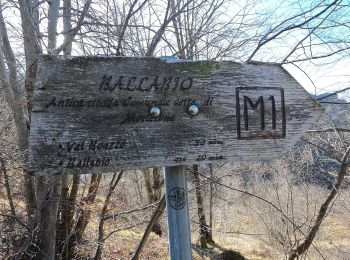
Tour Zu Fuß Lecco - Antica Strada Comunale di Morterone - Photo
Zu Fuß 6.15
Km
GUIDE+

Zu Fuß

Einfach
Lecco, Lombardei, Lecco, Italy
6,2 km | 10,7 km-effort
2h 25min
375 m
228 m
Nein
SityTrail - itinéraires balisés pédestres

• Symbol: red square with black text "M1"
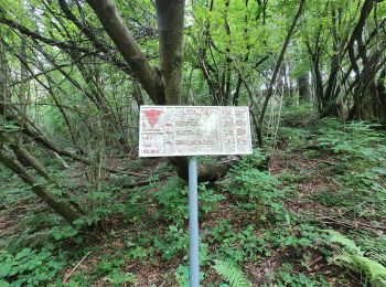
Tour Zu Fuß Lecco - Anello del Resegone - Photo
Zu Fuß 12.993
Km
GUIDE+

Zu Fuß

Medium
Lecco, Lombardei, Lecco, Italy
13 km | 23 km-effort
5h 13min
755 m
744 m
Ja
SityTrail - itinéraires balisés pédestres

• Trail created by Progetto Lario.

Tour Zu Fuß Lecco - Sentiero 21: Erna - Artavaggio - Photo
Zu Fuß 14.93
Km
GUIDE+

Zu Fuß

Medium
Lecco, Lombardei, Lecco, Italy
14,9 km | 27 km-effort
6h 5min
991 m
581 m
Nein
SityTrail - itinéraires balisés pédestres

• Trail created by Società Escursionisti Lecchesi. Symbol: depends on trail section: blazes red-white-yellow vertical ...

8 Angezeigte Touren bei 8

Kostenlosegpshiking-Anwendung

Logo SityTrail SityTrail

IGN / Geografische Institute

SityTrail aus dem App Store herunterladen SityTrail von Google Play herunterladen

Logo SityTrail SityTrail World

Die Welt öffnet sich für Sie

SityTrail aus dem App Store herunterladen SityTrail von Google Play herunterladen SityTrail auf Huawei AppGallery herunterladen

Aktivitäten

Schließen
Meine Abonnements