


8,6 km | 19,2 km-effort
Vinadio : Entdecken Sie die besten Touren : 12 zu fuß, 49 wandern und 2 nordic walking. Alle diese Touren, Trails, Routen und Outdoor-Aktivitäten sind in unseren SityTrail-Apps für Smartphones und Tablets verfügbar.
Zu Fuß


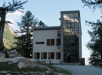
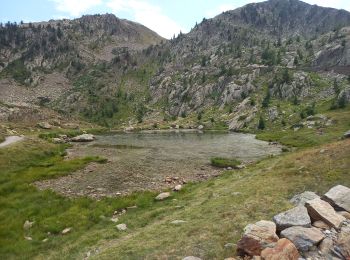
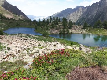
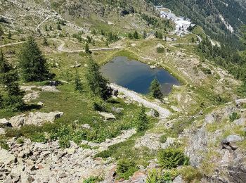
• From the Malinvern hut a steep trail, through larch woods and pastures, climbs to Lake Malinvern, continues along scr...
Zu Fuß
• Randonnée pédestre - Haut pays : Au départ du Sanctuaire de Sainte-Anne (2 035 mètres) Website: https://randoxygene....
Zu Fuß
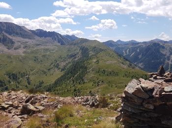
• Sentiero Italia CAI 2019
Zu Fuß
• Sentiero Italia CAI 2019
Wandern
Wandern
Nordic Walking
Wandern
Wandern
Zu Fuß
Zu Fuß
• Sentiero Italia CAI 2019
Zu Fuß
Wandern
Wandern
Wandern
Wandern
Wandern

Wandern

Wandern
Wandern
• [b]Les 5 randonnées décrites, associées respectivement aux 5 traces visibles sur la carte ci-dessous, sont les suivan...
20 Angezeigte Touren bei 62
Kostenlosegpshiking-Anwendung
 SityTrail
IGN / Geografische Institute
SityTrail World
Die Welt öffnet sich für Sie