


13,1 km | 17,7 km-effort
Pontremoli : Entdecken Sie die besten Touren : 7 zu fuß und 2 wandern. Alle diese Touren, Trails, Routen und Outdoor-Aktivitäten sind in unseren SityTrail-Apps für Smartphones und Tablets verfügbar.
Zu Fuß


• Trail created by AVFAL. Route from Passo del Righetto to SP38 surveyed 26.12.19 by Damiano. Route from SP38 to Migne...
Zu Fuß
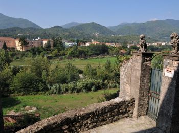
• Trail created by Comunità montana della Lunigiana.

Wandern
Wandern
Zu Fuß
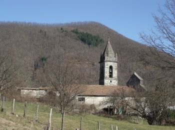
• Trail created by Comunità Montana della Lunigiana. Groppoli to Torrente Civasola survey undertaken 14.12.19 Torrente...

Zu Fuß
• relation maintained by Capataz (CAI Parma) Symbol: 843 on white red flags
Zu Fuß
• relation maintained by Capataz (CAI Parma) Symbol: 843A on white red flags
Zu Fuß
• Trail created by Comunità montana della Lunigiana. Montelungo to autostrada A15 survey undertaken 3.9.19. Cervara to...
Zu Fuß
• Trail created by Comunita' Montana Val di Taro;Comune di Borgotaro. relation maintained by Capataz (CAI Parma) Symb...
9 Angezeigte Touren bei 9
Kostenlosegpshiking-Anwendung
 SityTrail
IGN / Geografische Institute
SityTrail World
Die Welt öffnet sich für Sie