


22 km | 29 km-effort
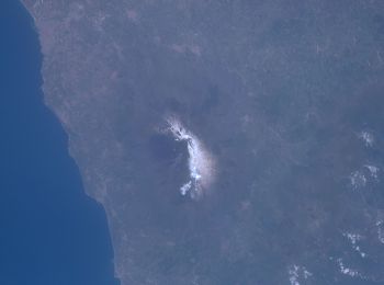
Catania : Entdecken Sie die besten Touren : 76 zu fuß und 38 wandern. Alle diese Touren, Trails, Routen und Outdoor-Aktivitäten sind in unseren SityTrail-Apps für Smartphones und Tablets verfügbar.
Zu Fuß


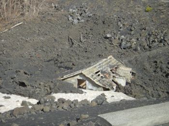
• Sentiero Italia CAI 2019
Zu Fuß
• Sentiero Italia CAI 2019
Zu Fuß
• Sentiero Italia CAI 2019
Zu Fuß
• Sentiero Italia CAI 2019

Zu Fuß
• Sentiero Italia CAI 2019
Zu Fuß
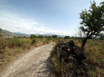
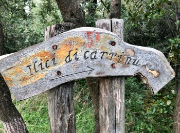
• Trail created by Club Alpino Italiano. Symbol: 731 on white red flags

Zu Fuß
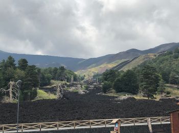
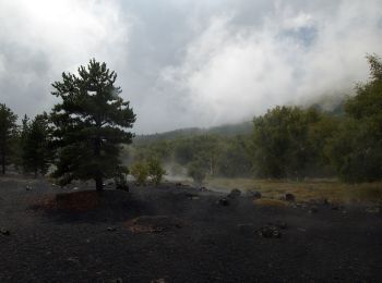
• Trail created by CAI - Parco dell'Etna. Symbol: 704 on white red flag
Zu Fuß
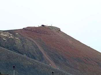
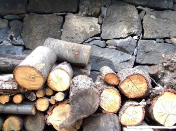
• Trail created by Parco dell'Etna. Symbol: 742 on white red flag
Zu Fuß
• Trail created by Parco dell'Etna. Symbol: 722 on white red flag

Zu Fuß
• Trail created by Parco dell'Etna. Symbol: 723 on white red flag
Zu Fuß
• Trail created by Parco dell'Etna. Symbol: 728 on white red flag

Zu Fuß
• Trail created by Parco dell'Etna. Symbol: 729 on white red flag

Zu Fuß
• Trail created by Parco dell'Etna. Symbol: 724 on white red flag
Zu Fuß
• Trail created by Parco dell'Etna. Symbol: 712 on white red flag
Zu Fuß
• Trail created by Parco dell'Etna. Symbol: 736 on white red flag

Zu Fuß
• Trail created by Parco dell'Etna. Symbol: 708 on white red flag

Zu Fuß
• Trail created by Parco dell'Etna. Symbol: 710 on white red flag
Zu Fuß
• Trail created by Parco del'Etna. Symbol: 740 on white red flag

Zu Fuß
• Trail created by Parco dell'Etna. Symbol: 703 on white red flag
Zu Fuß
• Trail created by Parco dell'Etna. Symbol: 702 on white red flag
20 Angezeigte Touren bei 114
Kostenlosegpshiking-Anwendung
 SityTrail
IGN / Geografische Institute
SityTrail World
Die Welt öffnet sich für Sie