![](/images/other/stat-length.png)
- Touren
- Zu Fuß
- Italy
- Kalabrien
- Reggio di Calabria
- Santo Stefano in Aspromonte
Santo Stefano in Aspromonte, Reggio di Calabria, Zu Fuß: Die besten Touren, Trails, Trecks und Wanderungen
Santo Stefano in Aspromonte : Entdecken Sie die besten Touren : 3 zu fuß. Alle diese Touren, Trails, Routen und Outdoor-Aktivitäten sind in unseren SityTrail-Apps für Smartphones und Tablets verfügbar.
Die besten Spuren (3)
![Tour Zu Fuß Santo Stefano in Aspromonte - Sentiero del Brigante - Photo](https://media.geolcdn.com/t/350/260/8ab85348-0f13-4d9b-bc33-98268ce86ac1.jpeg&format=jpg&maxdim=2)
![Zu Fuß Zu Fuß](https://static1.geolcdn.com/sitytour/trail-icons/100.png)
Km
Zu Fuß
![](/images/other/stat-length.png)
![](https://static1.geolcdn.com/siteimages/upload/files/1508320355ic_sort_den_pos_24dp.png)
![](https://static1.geolcdn.com/siteimages/upload/files/1508320355ic_sort_den_neg_24dp.png)
![](https://static1.geolcdn.com/siteimages/upload/files/16400158638029165_repeat_loop_refresh_sync_direction_icon.png)
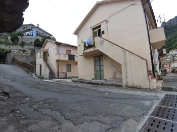
• Scopri il Sentiero del Brigante, un itinerario trekking di oltre 100km nel cuore del Parco dell'Aspromonte ricco di s...
![Tour Zu Fuß Santo Stefano in Aspromonte - (SI U02) Gambarie - Polsi - Photo](https://media.geolcdn.com/t/350/260/84825334-1aba-4d59-af22-7d9f20f1c380.jpeg&format=jpg&maxdim=2)
![Zu Fuß Zu Fuß](https://static1.geolcdn.com/sitytour/trail-icons/100.png)
Km
Zu Fuß
![](/images/other/stat-length.png)
![](https://static1.geolcdn.com/siteimages/upload/files/1508320355ic_sort_den_pos_24dp.png)
![](https://static1.geolcdn.com/siteimages/upload/files/1508320355ic_sort_den_neg_24dp.png)
![](https://static1.geolcdn.com/siteimages/upload/files/16400158638029165_repeat_loop_refresh_sync_direction_icon.png)
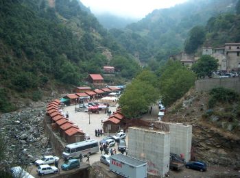
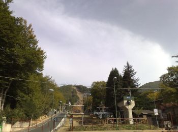
• Sentiero Italia CAI 2019
![Tour Zu Fuß Santo Stefano in Aspromonte - Sentiero del Brigante - Tappa 1 - Photo](https://media.geolcdn.com/t/350/260/a1fc3524-eeb6-4af0-a623-fe887ec764e0.jpeg&format=jpg&maxdim=2)
![Zu Fuß Zu Fuß](https://static1.geolcdn.com/sitytour/trail-icons/100.png)
Km
Zu Fuß
![](/images/other/stat-length.png)
![](https://static1.geolcdn.com/siteimages/upload/files/1508320355ic_sort_den_pos_24dp.png)
![](https://static1.geolcdn.com/siteimages/upload/files/1508320355ic_sort_den_neg_24dp.png)
![](https://static1.geolcdn.com/siteimages/upload/files/16400158638029165_repeat_loop_refresh_sync_direction_icon.png)
3 Angezeigte Touren bei 3
Kostenlosegpshiking-Anwendung