


17,8 km | 34 km-effort
Ratschings : Entdecken Sie die besten Touren : 18 zu fuß und 2 wandern. Alle diese Touren, Trails, Routen und Outdoor-Aktivitäten sind in unseren SityTrail-Apps für Smartphones und Tablets verfügbar.

Zu Fuß


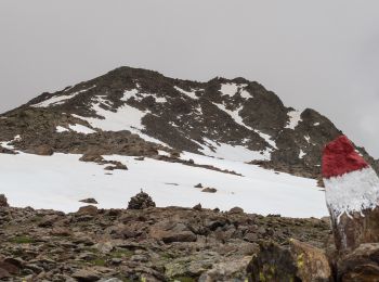
• Symbol: 2 red stripes with 1 white stripe in middle
Zu Fuß
• Symbol: 2 red stripes with 1 white stripe in middle
Zu Fuß
• Symbol: 2 red stripes with 1 white stripe in middle
Zu Fuß
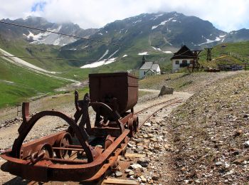
• Symbol: mine symbol in green shield
Zu Fuß
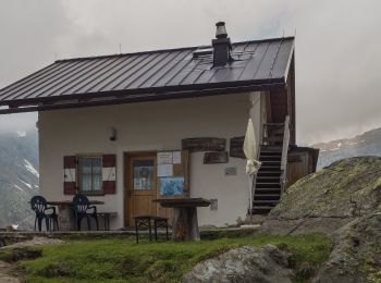
• Trail created by Alpenverein Südtirol.
Zu Fuß
• Trail created by TV.
Zu Fuß
• Trail created by AVS.
Zu Fuß
• Trail created by AVS.
Zu Fuß
Zu Fuß
Zu Fuß

Zu Fuß
Zu Fuß
Zu Fuß
• Symbol: 2 red stripes with 1 white stripe in middle
Wandern
• Faite le 24/07/2017 avec notre fils Théo de 12 ans.
Zu Fuß

Wandern

Zu Fuß
Zu Fuß
Zu Fuß
20 Angezeigte Touren bei 20
Kostenlosegpshiking-Anwendung
 SityTrail
IGN / Geografische Institute
SityTrail World
Die Welt öffnet sich für Sie