Telve di Sopra, Provincia di Trento, Zu Fuß: Die besten Touren, Trails, Trecks und Wanderungen

Telve di Sopra : Entdecken Sie die besten Touren : 3 zu fuß. Alle diese Touren, Trails, Routen und Outdoor-Aktivitäten sind in unseren SityTrail-Apps für Smartphones und Tablets verfügbar.


Die besten Spuren (3)
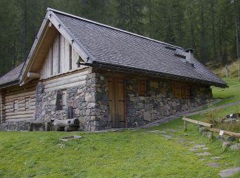
Tour Zu Fuß Telve di Sopra - Sentiero natura dell'Oasi di Valtrigona - Photo
Zu Fuß 4.199
Km
GUIDE+

Zu Fuß

Einfach
Telve di Sopra, Trentino-Südtirol, Provincia di Trento, Italy
4,2 km | 7,5 km-effort
1h 42min
110 m
655 m
Nein
SityTrail - itinéraires balisés pédestres

• Trail created by Società degli Alpinisti Tridentini. Website: http://www.sat.tn.it/
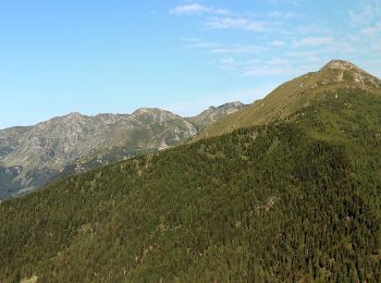
Tour Zu Fuß Telve di Sopra - Sentiero di Spiado e Sentiero del Salubio - Photo
Zu Fuß 7.93
Km
GUIDE+

Zu Fuß

Einfach
Telve di Sopra, Trentino-Südtirol, Provincia di Trento, Italy
7,9 km | 13,1 km-effort
2h 58min
339 m
535 m
Nein
SityTrail - itinéraires balisés pédestres

• Trail created by Società degli Alpinisti Tridentini. Website: http://www.sat.tn.it/
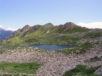
Tour Zu Fuß Telve di Sopra - IT-E312 - Photo
Zu Fuß 4.403
Km
GUIDE+

Zu Fuß

Einfach
Telve di Sopra, Trentino-Südtirol, Provincia di Trento, Italy
4,4 km | 13 km-effort
2h 57min
861 m
3 m
Nein
SityTrail - itinéraires balisés pédestres

• Trail created by Società degli Alpinisti Tridentini. Website: http://www.sat.tn.it/

3 Angezeigte Touren bei 3

Kostenlosegpshiking-Anwendung

Logo SityTrail SityTrail

IGN / Geografische Institute

SityTrail aus dem App Store herunterladen SityTrail von Google Play herunterladen

Logo SityTrail SityTrail World

Die Welt öffnet sich für Sie

SityTrail aus dem App Store herunterladen SityTrail von Google Play herunterladen SityTrail auf Huawei AppGallery herunterladen

Aktivitäten

Schließen
Meine Abonnements