


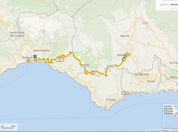
8,4 km | 16,3 km-effort
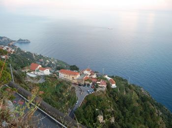
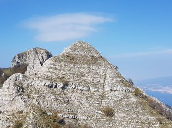
Agerola : Entdecken Sie die besten Touren : 7 zu fuß und 7 wandern. Alle diese Touren, Trails, Routen und Outdoor-Aktivitäten sind in unseren SityTrail-Apps für Smartphones und Tablets verfügbar.
Wandern


Zu Fuß
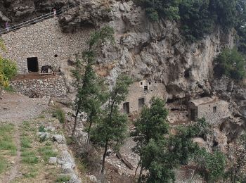
• Trail created by Club Alpino Italiano. Symbol: white strip on top of red strip
Zu Fuß
• Trail created by Club Alpino Italiano. Symbol: white strip on top of red strip
Zu Fuß
• Trail created by Club Alpino Italiano. Symbol: white strip on top of red strip

Zu Fuß
• Trail created by Club Alpino Italiano. Symbol: Rosso bianco rosso
Zu Fuß
• Trail created by Club Alpino Italiano. Symbol: white strip on top of red strip
Wandern
Wandern

Zu Fuß
• Trail created by Club Alpino Italiano. Symbol: 300 on white red flags
Zu Fuß

Wandern
Wandern
Wandern
Wandern
14 Angezeigte Touren bei 14
Kostenlosegpshiking-Anwendung
 SityTrail
IGN / Geografische Institute
SityTrail World
Die Welt öffnet sich für Sie