


5,6 km | 7,5 km-effort
Südbezirk : Entdecken Sie die besten Touren : 142 zu fuß und 6 wandern. Alle diese Touren, Trails, Routen und Outdoor-Aktivitäten sind in unseren SityTrail-Apps für Smartphones und Tablets verfügbar.
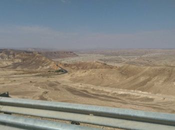
Zu Fuß


• Trail created by itc.
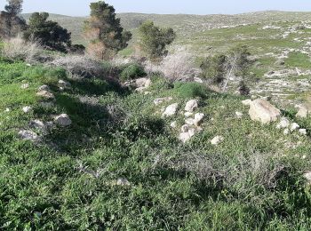
Zu Fuß
• Trail created by itc.

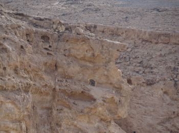
Zu Fuß
• Trail created by itc.
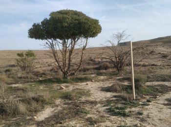
Zu Fuß
• Trail created by rtg.
Zu Fuß
• Trail created by itc.
Zu Fuß
• Trail created by itc.
Zu Fuß
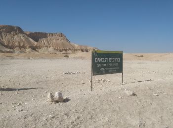
• Trail created by itc. continues northeast - route uncertain
Zu Fuß
• Trail created by itc.
Zu Fuß
• Trail created by itc.

Zu Fuß
• Trail created by itc.
Zu Fuß
• Trail created by itc.
Zu Fuß
• Trail created by itc.
Zu Fuß
• Trail created by itc.
Zu Fuß
• Trail created by itc.
Zu Fuß
• Trail created by itc.
Zu Fuß
• Trail created by itc.
Zu Fuß
• Trail created by itc.
Zu Fuß
• Trail created by itc.

Zu Fuß
• Trail created by itc.
Zu Fuß
• Trail created by itc.
20 Angezeigte Touren bei 148
Kostenlosegpshiking-Anwendung
 SityTrail
IGN / Geografische Institute
SityTrail World
Die Welt öffnet sich für Sie