


12 km | 21 km-effort
County Clare : Entdecken Sie die besten Touren : 4 zu fuß und 17 wandern. Alle diese Touren, Trails, Routen und Outdoor-Aktivitäten sind in unseren SityTrail-Apps für Smartphones und Tablets verfügbar.
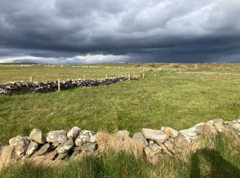
Wandern


Wandern
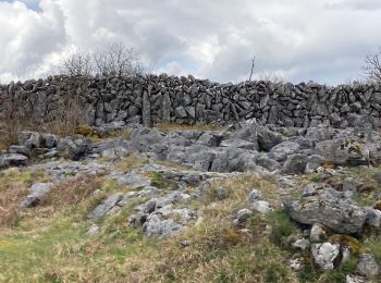
Wandern

Wandern
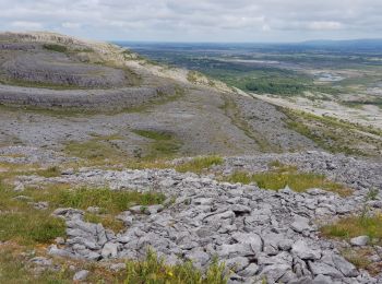
Wandern
Wandern
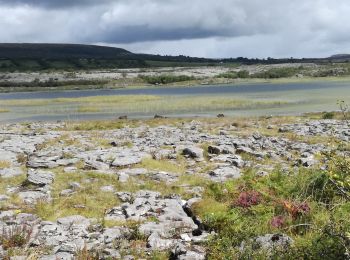
Wandern
Wandern
Wandern
Wandern
Wandern
Wandern
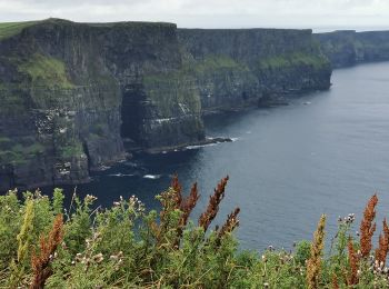
• Moher walk
Wandern
•
Wandern
Wandern
Wandern
Wandern
Zu Fuß
• Website: http://www.doolincliffwalk.com/
Zu Fuß
• Tour erstellt von Burren National Park. Symbol: red dot
Zu Fuß
• Tour erstellt von Burren National Park. Symbol: blue dot
20 Angezeigte Touren bei 21
Kostenlosegpshiking-Anwendung
 SityTrail
IGN / Geografische Institute
SityTrail World
Die Welt öffnet sich für Sie