


10,6 km | 15,6 km-effort
Regionalbezirk Rethymno : Entdecken Sie die besten Touren : 29 wandern. Alle diese Touren, Trails, Routen und Outdoor-Aktivitäten sind in unseren SityTrail-Apps für Smartphones und Tablets verfügbar.
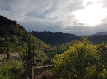
Wandern


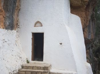
Wandern
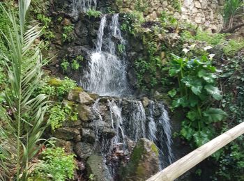
Wandern
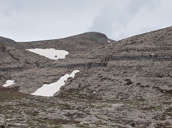
Wandern
Wandern
Wandern
Wandern

Wandern
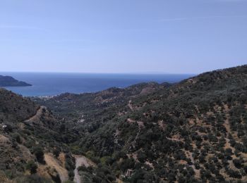
• Intérêt rando moyenne. 1h en plus pour le sommet et visite du club de vacances
Wandern
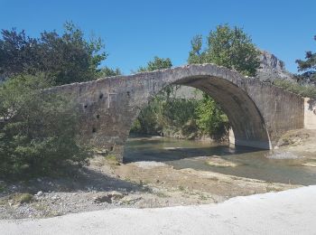
• Sentier littoral et belles plages sauvages
Wandern
• + A/R Palmeraie
Wandern
Wandern
Wandern
Wandern
Wandern
Wandern
• More information on GPStracks.nl : http://www.gpstracks.nl
Wandern
Wandern
Wandern
Wandern
20 Angezeigte Touren bei 29
Kostenlosegpshiking-Anwendung
 SityTrail
IGN / Geografische Institute
SityTrail World
Die Welt öffnet sich für Sie