


10 km | 14,2 km-effort
Highland : Entdecken Sie die besten Touren : 7 zu fuß, 52 wandern und 3 pfad. Alle diese Touren, Trails, Routen und Outdoor-Aktivitäten sind in unseren SityTrail-Apps für Smartphones und Tablets verfügbar.
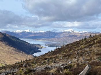
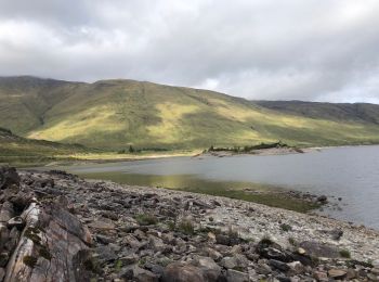
Wandern


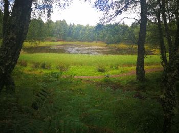
Wandern
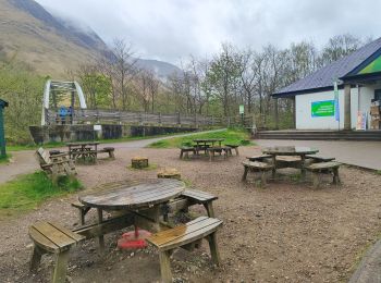
Wandern

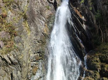
Wandern
Wandern
Wandern

Wandern
Wandern
• Easy
Wandern
• 426:57 - 22.1km
Wandern
• frais et brouillard en écosse
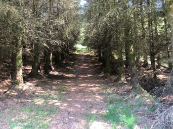
Pfad

Pfad
Pfad
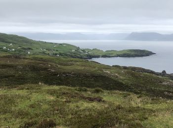
Wandern

Zu Fuß
• GPX file from Walkhighlands; file is copyright Walkhighlands and must not be publicly shared on other websites. Do no...
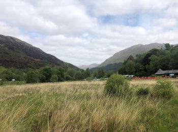
Wandern
Wandern
• More information on GPStracks.nl : http://www.gpstracks.nl
Wandern
• More information on GPStracks.nl : http://www.gpstracks.nl
Wandern
Wandern
20 Angezeigte Touren bei 62
Kostenlosegpshiking-Anwendung
 SityTrail
IGN / Geografische Institute
SityTrail World
Die Welt öffnet sich für Sie