


29 km | 34 km-effort
North Yorkshire : Entdecken Sie die besten Touren : 10 zu fuß. Alle diese Touren, Trails, Routen und Outdoor-Aktivitäten sind in unseren SityTrail-Apps für Smartphones und Tablets verfügbar.
Zu Fuß


• LDWA Long Distance Paths - Aislabie Walk - N Yorkshire Website: https://www.ldwa.org.uk/ldp/members/show_path.php?pa...
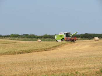
Zu Fuß
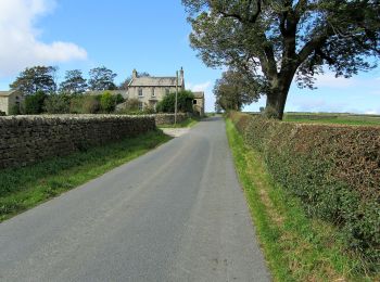
Zu Fuß
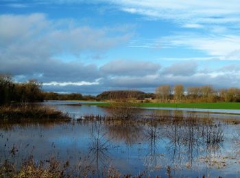
Zu Fuß
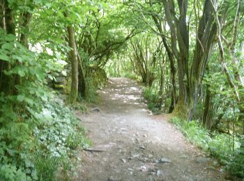
Zu Fuß
Zu Fuß
Zu Fuß
Zu Fuß
Zu Fuß
Zu Fuß
10 Angezeigte Touren bei 10
Kostenlosegpshiking-Anwendung
 SityTrail
IGN / Geografische Institute
SityTrail World
Die Welt öffnet sich für Sie